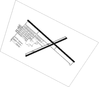
Brampton
Airport details
| Country | Canada |
| State | Ontario |
| Region | CY |
| Airspace | Toronto Ctr |
| Municipality | Caledon |
| Elevation | 935ft (285m) |
| Timezone | GMT -5 |
| Coordinates | 43.75945, -79.87520 |
| Magnetic var | |
| Type | land |
| Available since | X-Plane v10.40 |
| ICAO code | CNC3 |
| IATA code | n/a |
| FAA code | n/a |
Communication
| Brampton CTAF/UNICOM | 123.300 |
| Brampton TORONTO TRML | 119.300 |
Nearby Points of Interest:
Kinghorn Methodist Episcopal Cemetery
-Crawford Lake Conservation Area
-Shift
-Runnymede Theatre
-Government of Canada Building
-David Dunlap Observatory
-Horticulture Building
-Deer Park United Church
-College Street Baptist Church
-Avenue Road Church
-Horse Palace
-Automotive Building
-Liberty Grand Building
-Fort York Armoury
-University College
-Koffler Student Centre
-Hart House
-John Daniels' House
-Standard Theatre
-University Theatre
-Masonic Temple
-St. Basil's Church
-Women's College Hospital
-299 Queen Street West
-Canada Life Building

Nearby beacons
| code | identifier | dist | bearing | frequency |
|---|---|---|---|---|
| ZTO | WOODHILL (TORONTO) NDB | 7.5 | 97° | 403 |
| YTP | PEARSON (TORONTO) VOR/DME | 10.5 | 113° | 116.55 |
| YYZ | TORONTO VOR/DME | 12.2 | 113° | 112.15 |
| ZYZ | QUEENSWAY (TORONTO) NDB | 16.5 | 113° | 368 |
| TZ | GIBRALTAR POINT NDB | 23 | 107° | 257 |
| ZKF | WELLINGTON (KITCHENER) NDB | 24 | 237° | 335 |
| KZ | BUTTONVILLE NDB | 25.8 | 72° | 248 |
| YMS | MANS (MANSFIELD) VOR/DME | 25.8 | 325° | 114.50 |
| WT | (KITCHENER) DME | 28.4 | 239° | 115 |
| ZHA | ANCASTER (HAMILTON) NDB | 34.4 | 195° | 397 |
| ZHM | BINBROOK (HAMILTON) NDB | 37.1 | 172° | 266 |
| HM | HAMILTON NDB | 38.7 | 192° | 221 |
| YSO | DME | 41.8 | 56° | 117.35 |
| OO | OSHAWA NDB | 43.3 | 81° | 391 |
| YO | DME-ILS | 43.9 | 81° | 111.35 |
| SN | ST CATHARINES NDB | 45.6 | 135° | 408 |
| FD | BRANTFORD NDB | 47.4 | 218° | 207 |
| YEE | MIDLAND VOR/DME | 49.5 | 6° | 112.80 |
| IAG | NIAGARA FALLS TACAN | 55.6 | 125° | 111 |
Instrument approach procedures
| runway | airway (heading) | route (dist, bearing) |
|---|---|---|
| RW15 | NUDID (156°) | NUDID KAPIK (5mi, 235°) 3100ft |
| RW15 | OMSAG (127°) | OMSAG KAPIK (5mi, 127°) 3100ft |
| RW15 | TANBO (105°) | TANBO KAPIK (5mi, 55°) 3100ft |
| RNAV | KAPIK 3100ft ROKRA (6mi, 127°) 2300ft CNC3 (4mi, 128°) 986ft KAPIK (10mi, 307°) 3200ft KAPIK (turn) 3200ft |
Disclaimer
The information on this website is not for real aviation. Use this data with the X-Plane flight simulator only! Data taken with kind consent from X-Plane 12 source code and data files. Content is subject to change without notice.