Parry Sound - Parry Sound Area Muni
Airport details
| Country | Canada |
| State | Ontario |
| Region | CY |
| Airspace | Toronto Ctr |
| Municipality | Seguin Township |
| Elevation | 832ft (254m) |
| Timezone | GMT -5 |
| Coordinates | 45.25758, -79.82973 |
| Magnetic var | |
| Type | land |
| Available since | X-Plane v10.40 |
| ICAO code | CNK4 |
| IATA code | YPD |
| FAA code | n/a |
Communication
| Parry Sound Area Muni CTAF/UNICOM | 122.800 |
| Parry Sound Area Muni TORONTO RDO | 126.700 |
Nearby Points of Interest:
Huntsville station
-Gravenhurst Railway Station
-St. James on-the-Lines
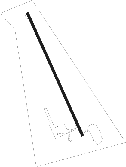
Runway info
| Runway 17 / 35 | ||
| length | 1220m (4003ft) | |
| bearing | 153° / 333° | |
| width | 23m (75ft) | |
| surface | asphalt | |
Nearby beacons
| code | identifier | dist | bearing | frequency |
|---|---|---|---|---|
| YEE | MIDLAND VOR/DME | 40.6 | 177° | 112.80 |
Instrument approach procedures
| runway | airway (heading) | route (dist, bearing) |
|---|---|---|
| RW17 | MAVAK (198°) | MAVAK ELSIL (6mi, 256°) 2300ft |
| RW17 | SASUD (118°) | SASUD ELSIL (6mi, 76°) 2300ft |
| RNAV | ELSIL 2300ft GADKO (5mi, 153°) 2140ft NAKPU (2mi, 153°) 1500ft CNK4 (2mi, 153°) 867ft KANIB (5mi, 153°) 2900ft KANIB (turn) | |
| RW35 | DANEP (18°) | DANEP BIRPA (6mi, 76°) 2400ft |
| RW35 | GOSEN (298°) | GOSEN BIRPA (6mi, 256°) 2400ft |
| RNAV | BIRPA 2400ft APLUN (5mi, 333°) 2370ft CNK4 (4mi, 333°) 880ft IKLED (5mi, 333°) 2900ft IKLED (turn) |
Disclaimer
The information on this website is not for real aviation. Use this data with the X-Plane flight simulator only! Data taken with kind consent from X-Plane 12 source code and data files. Content is subject to change without notice.