Arnprior - Arnprior South Renfrew Muni
Airport details
| Country | Canada |
| State | Ontario |
| Region | CY |
| Airspace | Toronto Ctr |
| Municipality | Arnprior |
| Elevation | 354ft (108m) |
| Timezone | GMT -5 |
| Coordinates | 45.41381, -76.36572 |
| Magnetic var | |
| Type | land |
| Available since | X-Plane v10.32 |
| ICAO code | CNP3 |
| IATA code | n/a |
| FAA code | n/a |
Communication
| Arnprior South Renfrew Muni CTAF/UNICOM | 122.700 |
| Arnprior South Renfrew Muni OTTAWA TRML | 124.275 |
| Arnprior South Renfrew Muni OTTAWA TRML | 135.150 |
Nearby Points of Interest:
Pakenham Bridge
-Panmure Alvar
-Burnt Lands alvar
-Horaceville, Ottawa
-Carleton Place railway station
-93, rue Court
-Wakefield Mill
-The Farm
-Riverview
-Main Building
-Kilmorie house
-Salaberry Armoury
-K.W. Neatby Building
-caserne numéro 3
-Sir John Carling Building
-Supreme Court Building
-Justice Building
-Confederation Building
-Wellington Building
-National Press Building
-Sir John A. Macdonald Building
-Victoria Building
-Scottish Ontario Chambers
-Bell Block
-Confederation Square
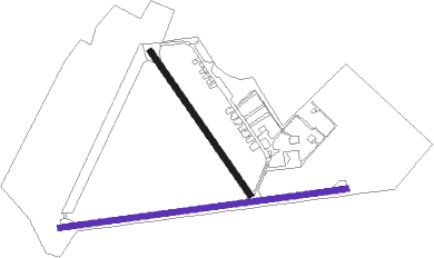
Runway info
Runway 16 / 34  | ||
| length | 720m (2362ft) | |
| bearing | 140° / 320° | |
| width | 23m (75ft) | |
| surface | asphalt | |
| Runway 10 / 28 | ||
| length | 1199m (3934ft) | |
| bearing | 88° / 268° | |
| width | 23m (75ft) | |
| surface | asphalt | |
Nearby beacons
| code | identifier | dist | bearing | frequency |
|---|---|---|---|---|
| YOW | OTTAWA VOR/DME | 19.8 | 87° | 114.60 |
| OW | OTTAWA NDB | 34 | 94° | 236 |
| YTA | PEMBROKE NDB | 42.7 | 295° | 409 |
| YWA | PETAWAWA NDB | 47.7 | 298° | 516 |
| YMW | MANIWAKI NDB | 50.6 | 27° | 366 |
Instrument approach procedures
| runway | airway (heading) | route (dist, bearing) |
|---|---|---|
| RW10 | KEBOB (62°) | KEBOB OBSEB (6mi, 355°) 2100ft |
| RW10 | LESIG (111°) | LESIG OBSEB (6mi, 175°) 2100ft |
| RNAV | OBSEB 2100ft SASOR (5mi, 88°) 1690ft TAGMU (2mi, 88°) 1040ft CNP3 (2mi, 85°) 405ft EBGUB (5mi, 89°) 2900ft EBGUB (turn) | |
| RW28 | NADAB (292°) | NADAB UDGOV (6mi, 356°) 2000ft |
| RW28 | PILPU (244°) | PILPU UDGOV (6mi, 176°) 2000ft |
| RNAV | UDGOV 2000ft VIVIG (5mi, 268°) 1690ft MEDEB (2mi, 268°) 1030ft CNP3 (2mi, 271°) 397ft IKBEB (5mi, 266°) 2900ft IKBEB (turn) |
Disclaimer
The information on this website is not for real aviation. Use this data with the X-Plane flight simulator only! Data taken with kind consent from X-Plane 12 source code and data files. Content is subject to change without notice.