Glade Park - Pinyon
Airport details
| Country | United States of America |
| State | Colorado |
| Region | |
| Airspace | Denver Ctr |
| Municipality | Mesa County |
| Elevation | 6979ft (2127m) |
| Timezone | GMT -7 |
| Coordinates | 39.00276, -108.71037 |
| Magnetic var | |
| Type | land |
| Available since | X-Plane v10.40 |
| ICAO code | CO43 |
| IATA code | n/a |
| FAA code | CO43 |
Communication
Nearby Points of Interest:
Rim Rock Drive
-Serpents Trail
-Devils Kitchen Picnic Shelter
-Colorado National Monument Visitor Center Complex
-Saddlehorn Visitor Center
-Saddlehorn Caretaker's House and Garage
-Saddlehorn Utility Area Historic District
-Bookcliff Shelter
-Saddlehorn Comfort Station
-Denver and Rio Grande Western Railroad Depot
-Handy Chapel
-North Seventh Street Historic Residential District
-Fruita Museum
-Cross Orchards Historic Site
-Clifton Community Center and Church
-IOOF Hall
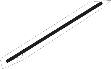
Runway info
| Runway 05 / 23 | ||
| length | 1029m (3376ft) | |
| bearing | 68° / 248° | |
| width | 27m (90ft) | |
| surface | dirt | |
Nearby beacons
| code | identifier | dist | bearing | frequency |
|---|---|---|---|---|
| JNC | GRAND JUNCTION VOR/DME | 5.1 | 305° | 112.40 |
| MTJ | MONTROSE VOR/DME | 48.2 | 121° | 117.10 |
| RIL | RIFLE VOR/DME | 55.8 | 62° | 110.60 |
| ETL | CONES (TELLURIDE) VOR/DME | 61.5 | 155° | 110.20 |
Disclaimer
The information on this website is not for real aviation. Use this data with the X-Plane flight simulator only! Data taken with kind consent from X-Plane 12 source code and data files. Content is subject to change without notice.