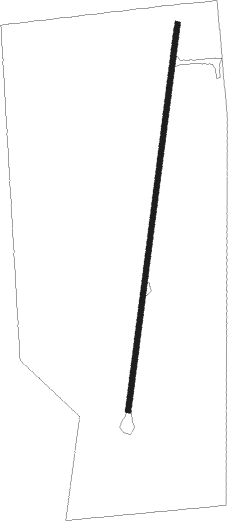
Gypsum - Gypsum Creek Ranch
Airport details
| Country | United States of America |
| State | Colorado |
| Region | |
| Airspace | Denver Ctr |
| Municipality | Eagle County |
| Elevation | 6720ft (2048m) |
| Timezone | GMT -7 |
| Coordinates | 39.59470, -106.97537 |
| Magnetic var | |
| Type | land |
| Available since | X-Plane v10.40 |
| ICAO code | CO47 |
| IATA code | n/a |
| FAA code | CO47 |
Communication
Runway info
| Runway 03 / 21 | ||
| length | 743m (2438ft) | |
| bearing | 15° / 195° | |
| width | 9m (30ft) | |
| surface | dirt | |
| displ threshold | 1m (3ft) / 0m (0ft) | |
Nearby beacons
| code | identifier | dist | bearing | frequency |
|---|---|---|---|---|
| SXW | SNOW (EAGLE) VOR/DME | 2.2 | 336° | 109.20 |
| DBL | RED TABLE (EAGLE) VOR/DME | 10 | 153° | 113 |
| RIL | RIFLE VOR/DME | 34.6 | 265° | 110.60 |
| RLG | KREMMLING VOR/DME | 34.7 | 53° | 113.80 |
| EKR | MEEKER VOR/DME | 52.1 | 296° | 115.20 |
| BQZ | ROBERT (STEAMBOAT SPRINGS VOR/DME | 52.4 | 7° | 112.20 |
| CHE | HAYDEN VOR/DME | 57.6 | 340° | 115.60 |
Disclaimer
The information on this website is not for real aviation. Use this data with the X-Plane flight simulator only! Data taken with kind consent from X-Plane 12 source code and data files. Content is subject to change without notice.
