Airports for X-Plane offers a convenient way to explore airports and their related communication information for the X-Plane flight simulator. It only uses data from the X-Plane flight simulator itself, and is therefore more reliable than the data that comes from real aviation websites. You can search for airports by using the ICAO code, or browse for airports per country and state. The information displayed is categorized by airport details, runway information, airport communication, approach frequencies (ILS and Glidepath details), details of nearby beacons, SIDs, STARs and approach procedures.

aircraft seaplanes corporation government southwest heliport stopover tarmac buildings train station flown helipad terminal nearby air terminal airline airstrip nation airborne capital

Saskatoon - Clavet Airstrip

Airport details

CountryCanada
StateSaskatchewan
Region
AirspaceWinnipeg Ctr
MunicipalityCorman Park No. 344
Elevation1667ft (508m)
TimezoneGMT -6
Coordinates52.00537, -106.43789
Magnetic var
Typeland
Available sinceX-Plane v10.40
ICAO codeCS31
IATA coden/a
FAA coden/a

Communication

No airport communication available for CS31
Nearby Points of Interest:
Rugby Chapel
-
Former Fire Hall No. 3
-
Victoria School
-
Gustin House
-
Arrand Block
-
Peter MacKinnon Building
-
Sommerville/Petitt House
-
Land Titles Building
-
Bowerman House
-
Hutchinson Building
-
Fairbanks-Morse Warehouse
-
Next of Kin Memorial Avenue

Runway info

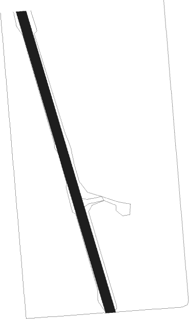
Runway 15 / 33
 length810m (2657ft)
 bearing161° / 341°
 width24m (79ft)
 surfacegrass
 displ threshold0m (0ft) / 150m (492ft)

Airport layout


Nearby beacons

codeidentifierdistbearingfrequency
ZXEBARNES (SASKATOON) NDB10.6319°356
YXESASKATOON VORTAC14.8302°116.20
XESASKATOON NDB17.7296°257
ZSSYELLOWHEAD (SASKATOON) NDB18308°397

Disclaimer

The information on this website is not for real aviation. Use this data with the X-Plane flight simulator only! Data taken with kind consent from X-Plane 12 source code and data files. Content is subject to change without notice.