Mont-laurier
Airport details
| Country | Canada |
| State | Quebec |
| Region | CY |
| Airspace | Montreal Ctr |
| Municipality | Mont-Laurier |
| Elevation | 813ft (248m) |
| Timezone | GMT -5 |
| Coordinates | 46.56476, -75.57623 |
| Magnetic var | |
| Type | land |
| Available since | X-Plane v10.40 |
| ICAO code | CSD4 |
| IATA code | n/a |
| FAA code | n/a |
Communication
| Mont-Laurier ATF/UNICOM | 122.800 |
Nearby Points of Interest:
Notre-Dame-de-Fourvière Cathedral
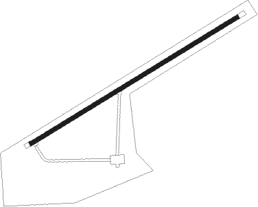
Runway info
| Runway 08 / 26 | ||
| length | 1221m (4006ft) | |
| bearing | 71° / 251° | |
| width | 23m (75ft) | |
| surface | asphalt | |
| displ threshold | 61m (200ft) / 0m (0ft) | |
Nearby beacons
| code | identifier | dist | bearing | frequency |
|---|---|---|---|---|
| 2Q | MONT-LAURIER NDB | 4.9 | 70° | 373 |
| YMW | MANIWAKI NDB | 26.6 | 227° | 366 |
Instrument approach procedures
| runway | airway (heading) | route (dist, bearing) |
|---|---|---|
| RW26-Y | AMUKO (251°) | AMUKO VILVA (3mi, 251°) 2900ft |
| RW26-Y | NOSUM (269°) | NOSUM VILVA (5mi, 324°) 2900ft |
| RW26-Y | OXARO (228°) | OXARO VILVA (5mi, 144°) 2900ft |
| RNAV | VILVA 2900ft UBVUS (5mi, 251°) 2500ft CSD4 (6mi, 251°) 849ft BOTOS (7mi, 251°) 3900ft BOTOS (turn) 3900ft | |
| RW26-Z | AMUKO (251°) | AMUKO VILVA (3mi, 251°) 2900ft |
| RW26-Z | NOSUM (269°) | NOSUM VILVA (5mi, 324°) 2900ft |
| RW26-Z | OXARO (228°) | OXARO VILVA (5mi, 144°) 2900ft |
| RNAV | VILVA 2900ft UBVUS (5mi, 251°) 2500ft TIGEX (3mi, 251°) 1640ft CSD4 (2mi, 251°) 849ft BOTOS (7mi, 251°) 3900ft BOTOS (turn) 3900ft |
Disclaimer
The information on this website is not for real aviation. Use this data with the X-Plane flight simulator only! Data taken with kind consent from X-Plane 12 source code and data files. Content is subject to change without notice.