Valcourt
Airport details
| Country | Canada |
| State | Quebec |
| Region | CY |
| Airspace | Montreal Ctr |
| Municipality | Le Val-Saint-François |
| Elevation | 740ft (226m) |
| Timezone | GMT -5 |
| Coordinates | 45.48111, -72.31028 |
| Magnetic var | |
| Type | land |
| Available since | X-Plane v10.40 |
| ICAO code | CSQ3 |
| IATA code | n/a |
| FAA code | n/a |
Communication
| Valcourt CTAF/UNICOM | 122.800 |
Nearby Points of Interest:
Église Saint-Luke de Waterloo
-Église universaliste de Waterloo
-bureau d'enregistrement de Richmond
-Richmond Railway Station
-Magog Textile Mill
-Bolton-Est Town Hall
-Église anglicane Saint-Paul
-Sherbrooke Canadian Pacific railway station
-Sherbrooke City Hall
-Moulin Denison
-Sherbrooke Canadian National railway station
-Château d'eau de la rue Dominion
-Chute-Hemmings Generating Station
-Hôtel de ville de Cassville
-Moulin à eau de la Grande Barbue
-East Angus railway station
-Receiving tomb of Saint-Cyrille-de-Wendover
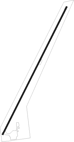
Runway info
| Runway 05 / 23 | ||
| length | 1138m (3734ft) | |
| bearing | 41° / 221° | |
| width | 12m (40ft) | |
| surface | asphalt | |
| displ threshold | 111m (364ft) / 34m (112ft) | |
Nearby beacons
| code | identifier | dist | bearing | frequency |
|---|---|---|---|---|
| Y8 | DRUMMONDVILLE NDB | 22.3 | 346° | 401 |
| YSC | DME | 24.1 | 108° | 113.20 |
| YRQ | TROIS-RIVIERES NDB | 55.3 | 338° | 205 |
| BT | HERRO (BURLINGTON) NDB | 69.5 | 225° | 382 |
Disclaimer
The information on this website is not for real aviation. Use this data with the X-Plane flight simulator only! Data taken with kind consent from X-Plane 12 source code and data files. Content is subject to change without notice.