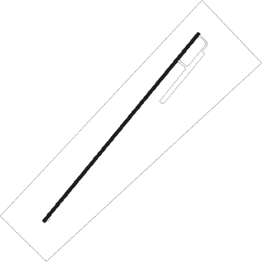
Victoriaville
Airport details
| Country | Canada |
| State | Quebec |
| Region | CY |
| Airspace | Montreal Ctr |
| Municipality | Victoriaville |
| Elevation | 485ft (148m) |
| Timezone | GMT -5 |
| Coordinates | 46.11250, -71.92949 |
| Magnetic var | |
| Type | land |
| Available since | X-Plane v10.40 |
| ICAO code | CSR3 |
| IATA code | n/a |
| FAA code | n/a |
Communication
| Victoriaville CTAF/UNICOM | 123.000 |
| Victoriaville MONTREAL CNTR | 132.350 |
Nearby beacons
| code | identifier | dist | bearing | frequency |
|---|---|---|---|---|
| Y8 | DRUMMONDVILLE NDB | 25.2 | 241° | 401 |
| YRQ | TROIS-RIVIERES NDB | 34.2 | 289° | 205 |
| YQB | QUEBEC VORTAC | 37.7 | 27° | 112.80 |
| QB | QUEBEC NDB | 42.8 | 36° | 230 |
| YSC | DME | 48.1 | 170° | 113.20 |
| BV | CHAMPLAIN (QUEBEC) NDB | 52.8 | 41° | 336 |
Instrument approach procedures
| runway | airway (heading) | route (dist, bearing) |
|---|---|---|
| RW06 | BEVOB (26°) | BEVOB APNOS (5mi, 304°) 2100ft |
| RW06 | DASAD (75°) | DASAD APNOS (5mi, 124°) 2100ft |
| RNAV | APNOS 2100ft NAPNU (6mi, 54°) 2100ft CSR3 (6mi, 54°) 510ft LESOS (6mi, 54°) 3700ft LESOS (turn) | |
| RW24 | BEXEL (206°) | BEXEL UKRUT (5mi, 124°) 2800ft |
| RW24 | TIKUK (256°) | TIKUK UKRUT (5mi, 304°) 2800ft |
| RNAV | UKRUT 2800ft MIPUS (6mi, 234°) 2200ft IPVUV (2mi, 234°) 1420ft CSR3 (3mi, 234°) 527ft NOVAV (7mi, 234°) 3700ft NOVAV (turn) |
Disclaimer
The information on this website is not for real aviation. Use this data with the X-Plane flight simulator only! Data taken with kind consent from X-Plane 12 source code and data files. Content is subject to change without notice.
