Washington - Cambrown
Airport details
| Country | United States of America |
| State | Connecticut |
| Region | |
| Airspace | Boston Ctr |
| Municipality | Washington |
| Elevation | 937ft (286m) |
| Timezone | GMT -5 |
| Coordinates | 41.66949, -73.28535 |
| Magnetic var | |
| Type | land |
| Available since | X-Plane v10.40 |
| ICAO code | CT66 |
| IATA code | n/a |
| FAA code | CT66 |
Communication
Nearby Points of Interest:
Calhoun-Ives Historic District
-Rye House
-The Hollister Homestead
-Caleb Martin House
-St. Andrew's Episcopal Church
-Town Hall and District School No. 6
-Henry B. Bissell House
-Hunt Hill Farm
-Capt. Philo Beardsley House
-Trinity Church
-David Welch House
-Litchfield
-Merryall Union Evangelical Society Chapel
-Oliver Wolcott House
-Roderick Bryan House
-Hotchkissville Historic District
-Topsmead
-Carl F. Schoverling Tobacco Warehouse
-United Bank Building
-Merritt Beach & Son Building
-E. A. Wildman & Co. Tobacco Warehouse
-New Milford Railroad Station
-Leroy Anderson House
-J. S. Halpine Tobacco Warehouse
-Woodbury Historic District No. 1
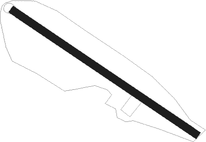
Runway info
| Runway 14 / 32 | ||
| length | 435m (1427ft) | |
| bearing | 121° / 301° | |
| width | 15m (50ft) | |
| surface | grass | |
Nearby beacons
| code | identifier | dist | bearing | frequency |
|---|---|---|---|---|
| PWL | PAWLING (POUGHKEEPSIE) VOR/DME | 15.3 | 288° | 114.30 |
| IGN | KINGSTON VOR/DME | 24 | 270° | 117.60 |
| CMK | CARMEL VOR/DME | 26.9 | 217° | 116.60 |
| HVN | HAVEN DME | 30.3 | 135° | 109.80 |
| BDR | BRIDGEPORT VOR/DME | 31.4 | 162° | 108.80 |
| HFD | HARTFORD VOR/DME | 33.1 | 92° | 114.90 |
| MAD | MADISON VOR/DME | 34.1 | 121° | 110.40 |
| SKU | STANWYCK (NEWBURGH) NDB | 35.1 | 259° | 261 |
| BAF | BARNES (WESTFIELD/SPRINGF VORTAC | 39 | 49° | 113 |
| PFH | PHILMONT (HUDSON) NDB | 40.1 | 323° | 272 |
| CTR | CHESTER VOR/DME | 40.2 | 28° | 115.10 |
| SW | NEELY (NEWBURGH) NDB | 43.7 | 259° | 335 |
| CEF | WESTOVER(SPRINGFIELD/CHIC TACAN | 46.4 | 55° | 114 |
| CCC | CALVERTON VOR/DME | 49.5 | 147° | 117.20 |
| DPK | DEER PARK VOR/DME | 52.7 | 181° | 117.70 |
| FR | FRIKK (FARMINGDALE) NDB | 54.3 | 192° | 407 |
| FOK | SUFFOLK CO (WESTHAMPTON B TACAN | 58 | 142° | 111 |
| LGA | LA GUARDIA (NEW YORK) VOR/DME | 59.3 | 213° | 113.10 |
| TEB | TETERBORO VOR/DME | 60.4 | 223° | 108.40 |
| HTO | HAMPTON (EAST HAMPTON) VORTAC | 62.7 | 128° | 113.60 |
| TE | TORBY (TETERBORO) NDB | 64.5 | 224° | 214 |
Disclaimer
The information on this website is not for real aviation. Use this data with the X-Plane flight simulator only! Data taken with kind consent from X-Plane 12 source code and data files. Content is subject to change without notice.