Du Rocher-percé - Du Rocher-percé (pabok)
Airport details
| Country | Canada |
| State | Quebec |
| Region | CY |
| Airspace | Montreal Ctr |
| Municipality | Grande-Rivière |
| Elevation | 86ft (26m) |
| Timezone | GMT -5 |
| Coordinates | 48.38321, -64.56448 |
| Magnetic var | |
| Type | land |
| Available since | X-Plane v10.40 |
| ICAO code | CTG3 |
| IATA code | n/a |
| FAA code | n/a |
Communication
| Du Rocher-Percé (Pabok) CTAF/UNICOM | 122.350 |
| Du Rocher-Percé (Pabok) QUEBEC RDO | 126.700 |
Nearby Points of Interest:
Église de L'Assomption-De-Notre-Dame de Grande-Rivière
-site patrimonial de Percé
-Port-Daniel railway station
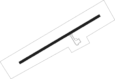
Runway info
| Runway 08 / 26 | ||
| length | 1220m (4003ft) | |
| bearing | 72° / 252° | |
| width | 30m (100ft) | |
| surface | asphalt | |
Nearby beacons
| code | identifier | dist | bearing | frequency |
|---|---|---|---|---|
| W7 | PABOK (DU ROCHER-PERCE)(PETIT NDB | 0 | 154° | 219 |
| YGP | GASPE VOR/DME | 23.6 | 23° | 115.40 |
| GP | GASPE NDB | 24.1 | 25° | 232 |
Instrument approach procedures
| runway | airway (heading) | route (dist, bearing) |
|---|---|---|
| RW08-X | EMELU (41°) | EMELU EMODA (6mi, 323°) 2300ft |
| RW08-X | MUPNI (96°) | MUPNI EMODA (6mi, 143°) 2300ft |
| RNAV | EMODA 2300ft AVRIR (5mi, 72°) 1200ft TIKOT (3mi, 72°) 178ft ALIPU (5mi, 72°) 2300ft ALIPU (turn) | |
| RW08-Y | EMELU (41°) | EMELU EMODA (6mi, 323°) 2300ft |
| RW08-Y | MUPNI (96°) | MUPNI EMODA (6mi, 143°) 2300ft |
| RNAV | EMODA 2300ft AVRIR (5mi, 72°) 1200ft CTG3 (4mi, 72°) 113ft ALIPU (5mi, 72°) 2300ft ALIPU (turn) | |
| RW08-Z | EMELU (41°) | EMELU EMODA (6mi, 323°) 2300ft |
| RW08-Z | MUPNI (96°) | MUPNI EMODA (6mi, 143°) 2300ft |
| RNAV | EMODA 2300ft AVRIR (5mi, 72°) 1200ft TIKOT (3mi, 72°) 178ft ALIPU (5mi, 72°) 2300ft ALIPU (turn) | |
| RW26-Y | DUSLU (275°) | DUSLU OBSOM (6mi, 324°) 2300ft |
| RW26-Y | VIDMI (219°) | VIDMI OBSOM (6mi, 144°) 2400ft |
| RNAV | OBSOM 2300ft BISVI (5mi, 252°) 1200ft CTG3 (4mi, 252°) 124ft MODOP (4mi, 252°) 2500ft MODOP (turn) | |
| RW26-Z | DUSLU (275°) | DUSLU OBSOM (6mi, 324°) 2300ft |
| RW26-Z | VIDMI (219°) | VIDMI OBSOM (6mi, 144°) 2400ft |
| RNAV | OBSOM 2300ft BISVI (5mi, 252°) 1200ft CTG3 (4mi, 252°) 124ft MODOP (4mi, 252°) 2500ft MODOP (turn) |
Disclaimer
The information on this website is not for real aviation. Use this data with the X-Plane flight simulator only! Data taken with kind consent from X-Plane 12 source code and data files. Content is subject to change without notice.