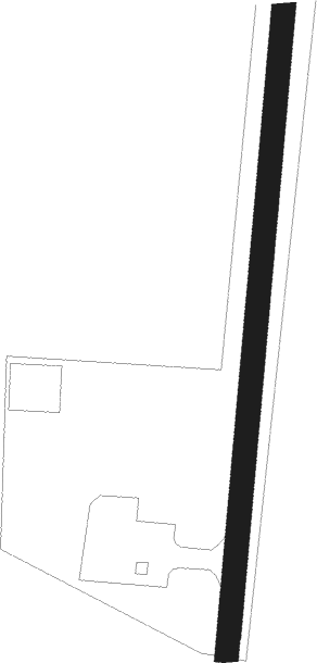
Kangirsuk
Airport details
| Country | Canada |
| State | Quebec |
| Region | CY |
| Airspace | Montreal Ctr |
| Municipality | Kangirsuk (Village) |
| Elevation | 404ft (123m) |
| Timezone | GMT -5 |
| Coordinates | 60.02726, -69.99918 |
| Magnetic var | |
| Type | land |
| Available since | X-Plane v10.40 |
| ICAO code | CYAS |
| IATA code | YKG |
| FAA code | n/a |
Communication
| Kangirsuk APRT RDO | 122.100 |
Nearby beacons
| code | identifier | dist | bearing | frequency |
|---|---|---|---|---|
| YAS | KANGIRSUK NDB | 0.1 | 254° | 221 |
Instrument approach procedures
| runway | airway (heading) | route (dist, bearing) |
|---|---|---|
| RW03 | ITLAG (359°) | ITLAG MEPVO (6mi, 324°) 2000ft |
| RW03 | SETVA (53°) | SETVA MEPVO (5mi, 95°) 2000ft |
| RW03 | VIKSU (332°) | VIKSU MEPVO (5mi, 275°) 2000ft |
| RNAV | MEPVO 2000ft EPNUG (6mi, 18°) 2000ft CYAS (5mi, 19°) 392ft KERKO (10mi, 19°) 2200ft KERKO (turn) | |
| RW21 | AVSER (235°) | AVSER PERGU (5mi, 275°) 1900ft |
| RW21 | SEVDU (149°) | SEVDU PERGU (5mi, 95°) 1900ft |
| RNAV | PERGU 1900ft NANBO (6mi, 199°) 1800ft BEXOG (2mi, 199°) 1090ft CYAS (2mi, 199°) 457ft TASBO (10mi, 199°) 2200ft TASBO (turn) |
Disclaimer
The information on this website is not for real aviation. Use this data with the X-Plane flight simulator only! Data taken with kind consent from X-Plane 12 source code and data files. Content is subject to change without notice.