Lac Du Bonnet
Airport details
| Country | Canada |
| State | Manitoba |
| Region | CY |
| Airspace | Winnipeg Ctr |
| Municipality | Rural Municipality of Lac du Bonnet |
| Elevation | 850ft (259m) |
| Timezone | GMT -6 |
| Coordinates | 50.28882, -96.00954 |
| Magnetic var | |
| Type | land |
| Available since | X-Plane v10.40 |
| ICAO code | CYAX |
| IATA code | n/a |
| FAA code | n/a |
Communication
| Lac Du Bonnet CTAF/UNICOM | 122.800 |
Runway info
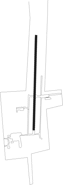
| Runway 18 / 36 | ||
| length | 1100m (3609ft) | |
| bearing | 189° / 9° | |
| width | 23m (75ft) | |
| surface | asphalt | |
Instrument approach procedures
| runway | airway (heading) | route (dist, bearing) |
|---|---|---|
| RW18 | ALNEK (227°) | ALNEK OVBUM (5mi, 274°) 2100ft |
| RW18 | BORAB (146°) | BORAB OVBUM (5mi, 94°) 2100ft |
| RNAV | OVBUM 2100ft UKRIX (6mi, 189°) 1990ft CYAX (4mi, 188°) 900ft ALNEK (11mi, 47°) 2500ft ALNEK (turn) | |
| RW36 | DUKNU (321°) | DUKNU ALRAV (5mi, 274°) 2300ft |
| RW36 | ERBUP (53°) | ERBUP ALRAV (5mi, 94°) 2100ft |
| RNAV | ALRAV 2100ft OMRIV (5mi, 9°) 2100ft CYAX (3mi, 11°) 899ft MARUR (5mi, 8°) 2400ft MARUR (turn) |
Disclaimer
The information on this website is not for real aviation. Use this data with the X-Plane flight simulator only! Data taken with kind consent from X-Plane 12 source code and data files. Content is subject to change without notice.