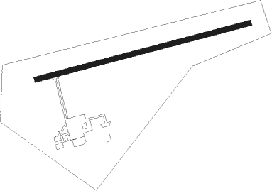
St. Anthony - St Anthony
Airport details
| Country | Canada |
| State | Newfoundland and Labrador |
| Region | CY |
| Airspace | Gander Oceanic Ctr |
| Municipality | Newfoundland |
| Elevation | 106ft (32m) |
| Timezone | GMT -3.5 |
| Coordinates | 51.39190, -56.08316 |
| Magnetic var | |
| Type | land |
| Available since | X-Plane v10.40 |
| ICAO code | CYAY |
| IATA code | YAY |
| FAA code | n/a |
Communication
| St Anthony AWOS1 | 118.650 |
| St Anthony CTAF | 122.300 |
Nearby beacons
| code | identifier | dist | bearing | frequency |
|---|---|---|---|---|
| YAY | SAINT ANTHONY VOR/DME | 0.1 | 344° | 113.70 |
| AY | ST ANTHONY NDB | 0.5 | 246° | 356 |
| YMH | MARY'S HARBOUR NDB | 56.1 | 15° | 250 |
Instrument approach procedures
| runway | airway (heading) | route (dist, bearing) |
|---|---|---|
| RW10 | OLESO (64°) | OLESO EMOSI (5mi, 344°) 1500ft |
| RW10 | XETOL (101°) | XETOL EMOSI (5mi, 164°) 1500ft |
| RNAV | EMOSI 1500ft ALSOM (5mi, 84°) 1430ft CYAY (4mi, 84°) 158ft EMPEN (5mi, 84°) 2300ft EMPEN (turn) | |
| RW28 | APMIX (246°) | APMIX OTNOB (5mi, 164°) 2000ft |
| RW28 | EPLOR (283°) | EPLOR OTNOB (6mi, 344°) 2000ft |
| RNAV | OTNOB 2000ft KEGBU (4mi, 264°) 2000ft XESUD (2mi, 264°) 1410ft CYAY (4mi, 264°) 138ft OMPAX (5mi, 264°) 2200ft OMPAX (turn) |
Disclaimer
The information on this website is not for real aviation. Use this data with the X-Plane flight simulator only! Data taken with kind consent from X-Plane 12 source code and data files. Content is subject to change without notice.