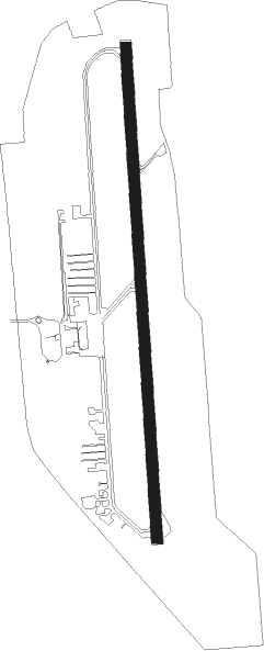
Nanaimo
Airport details
| Country | Canada |
| State | British Columbia |
| Region | CY |
| Airspace | Vancouver Ctr |
| Municipality | Area A (Cassidy/Cedar) |
| Elevation | 90ft (27m) |
| Timezone | GMT -8 |
| Coordinates | 49.05454, -123.87012 |
| Magnetic var | |
| Type | land |
| Available since | X-Plane v10.40 |
| ICAO code | CYCD |
| IATA code | YCD |
| FAA code | n/a |
Communication
| Nanaimo ATIS | 128.425 |
| Nanaimo FSS | 122.100 |
| Nanaimo Approach Vic | 133.950 |
Approach frequencies
| ILS-cat-I | RW16 | 110.35 | 18.00mi |
| 3° GS | RW16 | 110.35 | 18.00mi |
Nearby beacons
| code | identifier | dist | bearing | frequency |
|---|---|---|---|---|
| YCD | NANAIMO NDB | 4.4 | 359° | 251 |
| YYJ | VICTORIA VOR/DME | 24.8 | 130° | 113.70 |
| AP | ACTIVE PASS NDB | 25.3 | 107° | 378 |
| MB | MILL BAY (VICTORIA) NDB | 26.5 | 139° | 293 |
| YVR | VANCOUVER VOR/DME | 28.4 | 88° | 115.90 |
| YJ | VICTORIA NDB | 30.8 | 131° | 200 |
| VR | VANCOUVER NDB | 32.7 | 82° | 266 |
| FHR | FRIDAY HARBOR NDB | 46.7 | 123° | 284 |
| YPW | POWELL RIVER NDB | 53 | 321° | 382 |
| TOU | TATOOSH (NEAH BAY) VORTAC | 54.3 | 225° | 112.20 |
| CL | ELWHA (PORT ANGELES) NDB | 54.8 | 168° | 515 |
| NOW | EDIZ HOOK (PORT ANGELES) NDB | 57.9 | 153° | 338 |
Instrument approach procedures
| runway | airway (heading) | route (dist, bearing) |
|---|---|---|
| RW16-Y | HADER (257°) | HADER IKMUV (11mi, 294°) 1700ft PESGU (6mi, 264°) 1700ft |
| RW16-Y | NANOO (119°) | NANOO TAPGA (10mi, 96°) 3100ft PESGU (5mi, 97°) 3000ft |
| RW16-Y | TREEL (181°) | TREEL PESGU (8mi, 180°) 2000ft |
| RNAV | PESGU 1700ft ULDAT (5mi, 181°) 1400ft CYCD (5mi, 181°) 122ft (6692mi, 112°) 500ft EPNOD (6680mi, 292°) 2000ft VR (20mi, 72°) VR (turn) | |
| RW16-Z | HADER (257°) | HADER IKMUV (11mi, 294°) 3000ft PESGU (6mi, 264°) 3000ft |
| RW16-Z | NANOO (119°) | NANOO TAPGA (10mi, 96°) 3100ft PESGU (5mi, 97°) 3000ft |
| RW16-Z | TREEL (181°) | TREEL PESGU (8mi, 180°) 3000ft |
| RNAV | PESGU 3000ft ULDAT (5mi, 181°) 1400ft VOKIN (3mi, 181°) 600ft EPNOD (15mi, 100°) 2000ft VR (20mi, 72°) VR (turn) |
Disclaimer
The information on this website is not for real aviation. Use this data with the X-Plane flight simulator only! Data taken with kind consent from X-Plane 12 source code and data files. Content is subject to change without notice.
