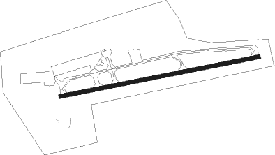
Chilliwack
Airport details
| Country | Canada |
| State | British Columbia |
| Region | CY |
| Airspace | Vancouver Ctr |
| Municipality | Chilliwack |
| Elevation | 32ft (10m) |
| Timezone | GMT -8 |
| Coordinates | 49.15413, -121.94407 |
| Magnetic var | |
| Type | land |
| Available since | X-Plane v10.40 |
| ICAO code | CYCW |
| IATA code | YCW |
| FAA code | n/a |
Communication
| Chilliwack CTAF/UNICOM | 122.700 |
Nearby Points of Interest:
Fort Langley National Historic Site
Nearby beacons
| code | identifier | dist | bearing | frequency |
|---|---|---|---|---|
| XX | ABBOTSFORD NDB | 22.9 | 256° | 344 |
| HE | HOPE NDB | 24.6 | 66° | 245 |
| HUH | WHATCOM VORTAC | 27.9 | 252° | 113 |
| YPK | PITT MEADOWS VOR | 30.4 | 275° | 112.40 |
| WC | WHITE ROCK NDB | 32.9 | 259° | 332 |
| BVS | SKAGIT/BAY VIEW (BURLINGTON) NDB | 45.2 | 215° | 240 |
| NUW | WHIDBEY ISLAND (OAK HARBO TACAN | 55.7 | 222° | 113.80 |
| CVV | PENN COVE VOR/DME | 62.7 | 221° | 117.20 |
Disclaimer
The information on this website is not for real aviation. Use this data with the X-Plane flight simulator only! Data taken with kind consent from X-Plane 12 source code and data files. Content is subject to change without notice.