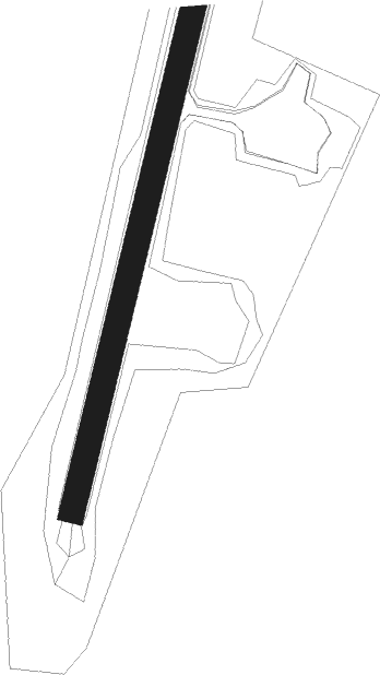
Clyde River
Airport details
| Country | Canada |
| State | Nunavut |
| Region | CY |
| Airspace | Edmonton Ctr |
| Municipality | Clyde River |
| Elevation | 86ft (26m) |
| Timezone | GMT -5 |
| Coordinates | 70.48592, -68.51694 |
| Magnetic var | |
| Type | land |
| Available since | X-Plane v10.40 |
| ICAO code | CYCY |
| IATA code | YCY |
| FAA code | n/a |
Communication
| Clyde River AWOS | 124.600 |
| Clyde River MANDATORY FREQ | 122.100 |
Nearby beacons
| code | identifier | dist | bearing | frequency |
|---|---|---|---|---|
| YCY | CLYDE RIVER NDB | 0.2 | 266° | 256 |
Instrument approach procedures
| runway | airway (heading) | route (dist, bearing) |
|---|---|---|
| RW02 | OMTIG (77°) | OMTIG RADES (5mi, 102°) 3900ft |
| RW02 | XUKEK (25°) | XUKEK RADES (5mi, 282°) 3900ft |
| RNAV | RADES 3900ft PIGTU (3mi, 62°) 3100ft NOTAN (2mi, 62°) 2500ft TIKOS (3mi, 63°) 1100ft CYCY (3mi, 61°) 133ft ITLAV (5mi, 63°) 4000ft ITLAV (turn) | |
| RW20 | EPLIV (156°) | EPLIV LIVGU (5mi, 96°) 3200ft |
| RW20 | KEVDO (251°) | KEVDO LIVGU (5mi, 276°) 3200ft |
| RNAV | LIVGU 3200ft NUDAG (5mi, 224°) 1700ft CYCY (5mi, 224°) 137ft (4983mi, 136°) 490ft EPLIV (4989mi, 316°) 3500ft EPLIV (turn) |
Disclaimer
The information on this website is not for real aviation. Use this data with the X-Plane flight simulator only! Data taken with kind consent from X-Plane 12 source code and data files. Content is subject to change without notice.