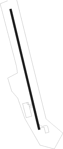
Fairmont Hot Springs
Airport details
| Country | Canada |
| State | British Columbia |
| Region | CY |
| Airspace | Vancouver Ctr |
| Municipality | Area F (Columbia Lake/Windermere Lake) |
| Elevation | 2661ft (811m) |
| Timezone | GMT -7 |
| Coordinates | 50.32543, -115.87341 |
| Magnetic var | |
| Type | land |
| Available since | X-Plane v10.40 |
| ICAO code | CYCZ |
| IATA code | YCZ |
| FAA code | n/a |
Communication
| FAIRMONT HOT SPRINGS CTAF | 123.200 |
Nearby beacons
| code | identifier | dist | bearing | frequency |
|---|---|---|---|---|
| D6 | FAIRMONT HOT SPRINGS NDB | 0.1 | 295° | 261 |
| SX | SKOOKUM (CRANBROOK) NDB | 22.4 | 168° | 368 |
| XC | CRANBROOK NDB | 38.7 | 172° | 242 |
| YXC | CRANBROOK VOR/DME | 47 | 196° | 112.10 |
Departure and arrival routes
| Transition altitude | 18000ft |
| Transition level | 18000ft |
| SID end points | distance | outbound heading | |
|---|---|---|---|
| RW33 | |||
| PIBSO1 | 28mi | 67° | |
| WELLF3 | 45mi | 309° | |
Instrument approach procedures
| runway | airway (heading) | route (dist, bearing) |
|---|---|---|
| RW33 | YXC (16°) | YXC OVURO (21mi, 51°) 9900ft ROPRU (13mi, 346°) 7600ft |
| RNAV | ROPRU 7600ft OVISU (5mi, 346°) 7500ft CYCZ (13mi, 346°) 2705ft (6377mi, 113°) 4500ft NORUT (6382mi, 294°) 11300ft NORUT (turn) 11300ft | |
| RWNVA | PENVO (346°) | PENVO OMIDA (7mi, 346°) 9000ft |
| RWNVA | VIMBI (313°) | VIMBI OMIDA (7mi, 264°) 9000ft |
| RWNVA | VISUL (25°) | VISUL OMIDA (7mi, 84°) 9000ft |
| RNAV | OMIDA 9000ft MUPLI (6mi, 346°) 8100ft LOBLI (5mi, 346°) 6260ft CYCZ (4mi, 345°) 2705ft (6377mi, 113°) 5300ft NORUT (6382mi, 294°) 11300ft NORUT (turn) |
Disclaimer
The information on this website is not for real aviation. Use this data with the X-Plane flight simulator only! Data taken with kind consent from X-Plane 12 source code and data files. Content is subject to change without notice.
