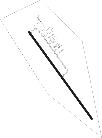
Midland - Huronia
Airport details
| Country | Canada |
| State | Ontario |
| Region | CY |
| Airspace | Toronto Ctr |
| Municipality | Tiny |
| Elevation | 770ft (235m) |
| Timezone | GMT -5 |
| Coordinates | 44.68484, -79.92941 |
| Magnetic var | |
| Type | land |
| Available since | X-Plane v10.40 |
| ICAO code | CYEE |
| IATA code | YEE |
| FAA code | n/a |
Communication
| Huronia CTAF/UNICOM | 122.850 |
Nearby Points of Interest:
St. James on-the-Lines
-Tremont House
-Collingwood Downtown Heritage Conservation District
-Orillia Railway Station
-Gravenhurst Railway Station
Nearby beacons
| code | identifier | dist | bearing | frequency |
|---|---|---|---|---|
| YEE | MIDLAND VOR/DME | 8.4 | 127° | 112.80 |
| YMS | MANS (MANSFIELD) VOR/DME | 33.8 | 202° | 114.50 |
| YSO | DME | 42.1 | 121° | 117.35 |
| KZ | BUTTONVILLE NDB | 52 | 141° | 248 |
| ZTO | WOODHILL (TORONTO) NDB | 57.6 | 167° | 403 |
Instrument approach procedures
| runway | airway (heading) | route (dist, bearing) |
|---|---|---|
| RW16 | ADREG (113°) | ADREG UBTOS (6mi, 66°) 2400ft |
| RW16 | AGDUX (175°) | AGDUX UBTOS (6mi, 246°) 2400ft |
| RNAV | UBTOS 2400ft OBRIM (6mi, 139°) 2400ft CYEE (5mi, 139°) 823ft TADRO (7mi, 139°) 2400ft TADRO (turn) | |
| RW34 | BEPIR (355°) | BEPIR EBGAX (6mi, 66°) 2400ft |
| RW34 | DASUV (293°) | DASUV EBGAX (6mi, 246°) 2400ft |
| RNAV | EBGAX 2400ft GADES (6mi, 320°) 2400ft MARED (3mi, 319°) 1450ft CYEE (2mi, 319°) 811ft ULOPO (7mi, 319°) 2400ft ULOPO (turn) |
Disclaimer
The information on this website is not for real aviation. Use this data with the X-Plane flight simulator only! Data taken with kind consent from X-Plane 12 source code and data files. Content is subject to change without notice.