Fort Simpson
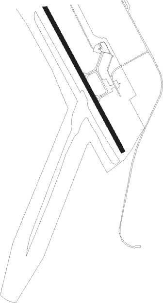
Airport details
| Country | Canada |
| State | Northwest Territories |
| Region | CY |
| Airspace | Edmonton Ctr |
| Municipality | Dehcho Region |
| Elevation | 555ft (169m) |
| Timezone | GMT -7 |
| Coordinates | 61.76015, -121.23653 |
| Magnetic var | |
| Type | land |
| Available since | X-Plane v10.40 |
| ICAO code | CYFS |
| IATA code | YFS |
| FAA code | n/a |
Communication
| FORT SIMPSON FT SIMPSON RDO | 122.200 |
Nearby beacons
| code | identifier | dist | bearing | frequency |
|---|---|---|---|---|
| FS | FORT SIMPSON NDB | 1.6 | 317° | 375 |
| YFS | FORT SIMPSON VOR/DME | 1.9 | 282° | 117.90 |
Instrument approach procedures
| runway | airway (heading) | route (dist, bearing) |
|---|---|---|
| RW14 | SPOME (112°) | SPOME ROSDO (5mi, 78°) 1900ft |
| RW14 | TEXAD (182°) | TEXAD ROSDO (5mi, 258°) 1900ft |
| RNAV | ROSDO 1900ft OMTOS (6mi, 136°) 1900ft CYFS (5mi, 137°) 594ft ADRIR (4mi, 137°) 1900ft ADRIR (turn) | |
| RW32 | TIGOS (292°) | TIGOS ROSPA (5mi, 258°) 1900ft |
| RW32 | ULUKI (3°) | ULUKI ROSPA (5mi, 78°) 1900ft |
| RNAV | ROSPA 1900ft OTUGA (6mi, 317°) 1900ft CYFS (5mi, 317°) 600ft XORAM (4mi, 317°) 1900ft XORAM (turn) |
Disclaimer
The information on this website is not for real aviation. Use this data with the X-Plane flight simulator only! Data taken with kind consent from X-Plane 12 source code and data files. Content is subject to change without notice.