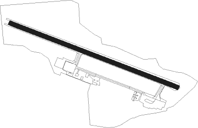
Dryden - Dryden Regl
Airport details
| Country | Canada |
| State | Ontario |
| Region | CY |
| Airspace | Winnipeg Ctr |
| Municipality | Unorganized Kenora District |
| Elevation | 1354ft (413m) |
| Timezone | GMT -6 |
| Coordinates | 49.82747, -92.73795 |
| Magnetic var | |
| Type | land |
| Available since | X-Plane v10.40 |
| ICAO code | CYHD |
| IATA code | YHD |
| FAA code | n/a |
Communication
| Dryden Regl MIN NATL RESOURCES | 122.900 |
Approach frequencies
| ILS-cat-I | RW12 | 109.7 | 18.00mi |
| 3° GS | RW12 | 109.7 | 18.00mi |
Nearby beacons
| code | identifier | dist | bearing | frequency |
|---|---|---|---|---|
| YHD | DRYDEN NDB | 4.8 | 288° | 413 |
| XL | LOOKOUT DME | 36.8 | 71° | 113.10 |
| YXL | SIOUX LOOKOUT NDB | 36.8 | 71° | 346 |
Instrument approach procedures
| runway | airway (heading) | route (dist, bearing) |
|---|---|---|
| RW12 | AVEVI (128°) | AVEVI IMEGA (5mi, 216°) 3000ft |
| RW12 | OVIXO (91°) | OVIXO IMEGA (5mi, 36°) 3000ft |
| RNAV | IMEGA 3000ft LETAM (6mi, 107°) 2800ft PEPRU (3mi, 107°) 1980ft CYHD (3mi, 109°) 1407ft ITMUL (6mi, 106°) 3000ft ITMUL (turn) | |
| RW30 | SEBOK (270°) | SEBOK BIMGU (5mi, 217°) 3000ft |
| RW30 | VIXUR (308°) | VIXUR BIMGU (5mi, 36°) 3000ft |
| RNAV | BIMGU 3000ft KIXEG (6mi, 287°) 2800ft CYHD (5mi, 286°) 1402ft ETBIK (5mi, 288°) 3000ft ETBIK (turn) |
Disclaimer
The information on this website is not for real aviation. Use this data with the X-Plane flight simulator only! Data taken with kind consent from X-Plane 12 source code and data files. Content is subject to change without notice.
