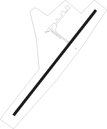
Digby - Digby/annapolis
Airport details
| Country | Canada |
| State | Nova Scotia |
| Region | CY |
| Airspace | Moncton Ctr |
| Municipality | Hillgrove |
| Elevation | 499ft (152m) |
| Timezone | GMT -4 |
| Coordinates | 44.54589, -65.78574 |
| Magnetic var | |
| Type | land |
| Available since | X-Plane v10.40 |
| ICAO code | CYID |
| IATA code | YDG |
| FAA code | n/a |
Communication
| Digby/Annapolis Digby CTAF/UNICOM | 122.800 |
Nearby beacons
| code | identifier | dist | bearing | frequency |
|---|---|---|---|---|
| YZX | GREENWOOD NDB | 36.9 | 61° | 266 |
| ZST | ALPINE (SAINT JOHN) NDB | 41.6 | 346° | 397 |
| AC | PLEASANT LAKE (YARMOUTH) NDB | 42.6 | 201° | 230 |
| YQI | YARMOUTH VOR/DME | 45.1 | 202° | 113.30 |
| UZX | GREENWOOD TACAN | 45.3 | 63° | 117.60 |
| QI | YARMOUTH NDB | 47.5 | 204° | 206 |
| GF | AYLESFORD (GREENWOOD) NDB | 50.5 | 64° | 341 |
| SJ | SAINT JOHN NDB | 50.8 | 358° | 212 |
| YSJ | SAINT JOHN VOR/DME | 51.8 | 354° | 113.50 |
Instrument approach procedures
| runway | airway (heading) | route (dist, bearing) |
|---|---|---|
| RW06 | IPTIX (76°) | IPTIX OVEXA (5mi, 123°) 1900ft |
| RW06 | XOPRA (20°) | XOPRA OVEXA (5mi, 303°) 1900ft |
| RNAV | OVEXA 1900ft URVEK (6mi, 52°) 1800ft VIGBA (2mi, 52°) 1310ft CYID (3mi, 52°) 500ft TORNL (6mi, 52°) 2300ft TORNL (turn) | |
| RW24 | GOVOR (200°) | GOVOR MUXEL (5mi, 123°) 1900ft |
| RW24 | VIKLO (256°) | VIKLO MUXEL (5mi, 303°) 1900ft |
| RNAV | MUXEL 1900ft TIBUX (6mi, 232°) 1800ft CYID (4mi, 232°) 539ft OMTIV (6mi, 232°) 2300ft OMTIV (turn) |
Disclaimer
The information on this website is not for real aviation. Use this data with the X-Plane flight simulator only! Data taken with kind consent from X-Plane 12 source code and data files. Content is subject to change without notice.
