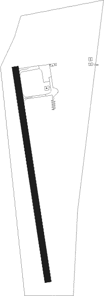
La Tuque
Airport details
| Country | Canada |
| State | Quebec |
| Region | CY |
| Airspace | Montreal Ctr |
| Municipality | La Tuque |
| Elevation | 546ft (166m) |
| Timezone | GMT -5 |
| Coordinates | 47.41478, -72.78698 |
| Magnetic var | |
| Type | land |
| Available since | X-Plane v10.40 |
| ICAO code | CYLQ |
| IATA code | YLQ |
| FAA code | n/a |
Communication
| La Tuque CTAF/UNICOM | 122.800 |
Nearby Points of Interest:
Église Saint-Andrew
Instrument approach procedures
| runway | airway (heading) | route (dist, bearing) |
|---|---|---|
| RW01 | OVURA (27°) | OVURA NUGEM (5mi, 87°) 2700ft |
| RW01 | URNIK (323°) | URNIK NUGEM (5mi, 267°) 2700ft |
| RNAV | NUGEM 2700ft ETKIM (6mi, 354°) 2200ft CYLQ (6mi, 355°) 594ft VESVO (4mi, 352°) 2800ft VESVO (turn) | |
| RW19 | MITAG (139°) | MITAG ADSOB (5mi, 87°) 2700ft |
| RW19 | VOKOV (209°) | VOKOV ADSOB (5mi, 267°) 2700ft |
| RNAV | ADSOB 2700ft PIGMI (6mi, 174°) 2000ft CYLQ (4mi, 172°) 600ft UKTEL (5mi, 176°) 2800ft UKTEL (turn) |
Disclaimer
The information on this website is not for real aviation. Use this data with the X-Plane flight simulator only! Data taken with kind consent from X-Plane 12 source code and data files. Content is subject to change without notice.