Alert
Airport details
| Country | Canada |
| State | Nunavut |
| Region | CY |
| Municipality | Canadian Forces Station Alert |
| Elevation | 100ft (30m) |
| Timezone | GMT -5 |
| Coordinates | 82.51778, -62.28056 |
| Magnetic var | |
| Type | land |
| Available since | X-Plane v10.30 |
| ICAO code | CYLT |
| IATA code | YLT |
| FAA code | n/a |
Communication
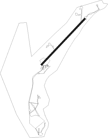
Runway info
| Runway 05 / 23 | ||
| length | 1683m (5522ft) | |
| bearing | 83° / 263° | |
| width | 46m (150ft) | |
| surface | gravel | |
Nearby beacons
| code | identifier | dist | bearing | frequency |
|---|---|---|---|---|
| ULT | ALERT TACAN | 0.2 | 269° | 110.70 |
| LT | ALERT NDB | 0.7 | 83° | 305 |
Instrument approach procedures
| runway | airway (heading) | route (dist, bearing) |
|---|---|---|
| RW23 | IKBUR (270°) | IKBUR DUVOB (10mi, 279°) 2600ft |
| RW23 | ODKUV (264°) | ODKUV DUVOB (5mi, 264°) 2600ft |
| RNAV | DUVOB 2600ft AXEKO (5mi, 264°) 1740ft CYLT (5mi, 263°) 146ft XUDEG (3mi, 263°) ODKUV (18mi, 84°) 3400ft ODKUV (turn) 6600ft |
Disclaimer
The information on this website is not for real aviation. Use this data with the X-Plane flight simulator only! Data taken with kind consent from X-Plane 12 source code and data files. Content is subject to change without notice.