Manitouwadge
Airport details
| Country | Canada |
| State | Ontario |
| Region | CY |
| Airspace | Toronto Ctr |
| Municipality | Manitouwadge Township |
| Elevation | 1198ft (365m) |
| Timezone | GMT -5 |
| Coordinates | 49.08320, -85.86100 |
| Magnetic var | |
| Type | land |
| Available since | X-Plane v10.40 |
| ICAO code | CYMG |
| IATA code | YMG |
| FAA code | n/a |
Communication
| Manitouwadge CTAF/UNICOM | 122.800 |
| Manitouwadge LONDON RDO | 126.700 |
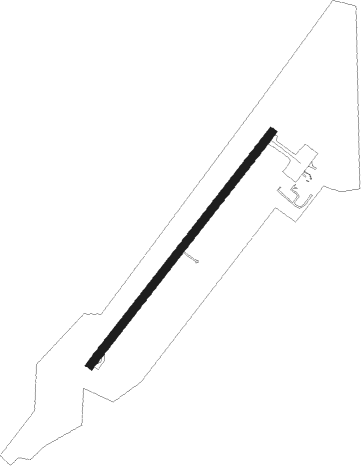
Runway info
| Runway 05 / 23 | ||
| length | 1099m (3606ft) | |
| bearing | 54° / 234° | |
| width | 30m (100ft) | |
| surface | asphalt | |
Nearby beacons
| code | identifier | dist | bearing | frequency |
|---|---|---|---|---|
| YSP | MARATHON VOR/DME | 27.4 | 234° | 115.90 |
Instrument approach procedures
| runway | airway (heading) | route (dist, bearing) |
|---|---|---|
| RW05 | NOTAD (23°) | NOTAD PEPKU (5mi, 301°) 3000ft |
| RW05 | XULMO (76°) | XULMO PEPKU (5mi, 121°) 3000ft |
| RNAV | PEPKU 3000ft URSEG (5mi, 54°) 3000ft AGBOG (3mi, 54°) 1780ft CYMG (2mi, 54°) 1212ft (5242mi, 120°) 1600ft OMPOS (5237mi, 300°) 3100ft OMPOS (turn) | |
| RW23 | EPVUL (204°) | EPVUL SEDON (5mi, 121°) 2900ft |
| RW23 | TALIP (256°) | TALIP SEDON (5mi, 301°) 2900ft |
| RNAV | SEDON 2900ft RESEX (5mi, 235°) 2800ft XIDUR (3mi, 235°) 1940ft CYMG (2mi, 234°) 1239ft ROSLA (5mi, 234°) 3100ft ROSLA (turn) |
Disclaimer
The information on this website is not for real aviation. Use this data with the X-Plane flight simulator only! Data taken with kind consent from X-Plane 12 source code and data files. Content is subject to change without notice.