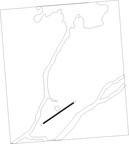
Norway House
Airport details
| Country | Canada |
| State | Manitoba |
| Region | CY |
| Airspace | Winnipeg Ctr |
| Municipality | Division No. 22 |
| Elevation | 723ft (220m) |
| Timezone | GMT -6 |
| Coordinates | 53.95829, -97.84416 |
| Magnetic var | |
| Type | land |
| Available since | X-Plane v10.40 |
| ICAO code | CYNE |
| IATA code | YNE |
| FAA code | n/a |
Communication
Nearby beacons
| code | identifier | dist | bearing | frequency |
|---|---|---|---|---|
| NE | HOUSE DME | 0.8 | 10° | 115.10 |
| YNE | NORWAY HOUSE NDB | 0.8 | 16° | 207 |
Instrument approach procedures
| runway | airway (heading) | route (dist, bearing) |
|---|---|---|
| RW06 | ABELT (89°) | ABELT DUXUV (5mi, 136°) 2200ft |
| RW06 | ELEVO (47°) | ELEVO DUXUV (5mi, 316°) 2200ft |
| RNAV | DUXUV 2200ft XOSAN (5mi, 71°) 2100ft CYNE (4mi, 71°) 773ft URPIX (5mi, 71°) 2200ft URPIX (turn) | |
| RW24 | NAGTA (227°) | NAGTA EMETI (5mi, 136°) 2200ft |
| RW24 | USBEM (269°) | USBEM EMETI (5mi, 316°) 2200ft |
| RNAV | EMETI 2200ft DUKDU (5mi, 252°) 2100ft ALNOB (2mi, 251°) 1490ft CYNE (3mi, 251°) 784ft NORER (5mi, 251°) 2200ft NORER (turn) |
Disclaimer
The information on this website is not for real aviation. Use this data with the X-Plane flight simulator only! Data taken with kind consent from X-Plane 12 source code and data files. Content is subject to change without notice.