Portage La Prairie - Southport
Airport details
| Country | Canada |
| State | Manitoba |
| Region | CY |
| Airspace | Winnipeg Ctr |
| Municipality | Rural Municipality of Portage la Prairie |
| Elevation | 881ft (269m) |
| Timezone | GMT -6 |
| Coordinates | 49.90313, -98.27391 |
| Magnetic var | |
| Type | land |
| Available since | X-Plane v10.40 |
| ICAO code | CYPG |
| IATA code | YPG |
| FAA code | n/a |
Communication
Approach frequencies
| ILS-cat-I | RW31L | 109.7 | 18.00mi |
| 3° GS | RW31L | 109.7 | 18.00mi |
Nearby Points of Interest:
Fort La Reine
-Portage la Prairie railway station
-Portage la Prairie Canadian Pacific Railway Station
-MacGregor Canadian Pacific Railway Water Tower
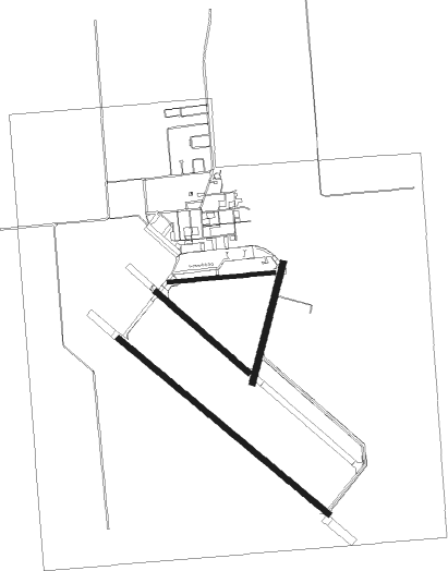
Runway info
Runway 09 / 27  | ||
| length | 814m (2671ft) | |
| bearing | 89° / 269° | |
| width | 30m (98ft) | |
| surface | concrete | |
| Runway 13L / 31R | ||
| length | 939m (3081ft) | |
| bearing | 123° / 303° | |
| width | 45m (148ft) | |
| surface | concrete | |
| blast zone | 1m (3ft) / 0m (0ft) | |
| Runway 13R / 31L | ||
| length | 2102m (6896ft) | |
| bearing | 122° / 302° | |
| width | 45m (148ft) | |
| surface | concrete | |
| Runway 02 / 20 | ||
| length | 942m (3091ft) | |
| bearing | 28° / 208° | |
| width | 45m (148ft) | |
| surface | concrete | |
Nearby beacons
| code | identifier | dist | bearing | frequency |
|---|---|---|---|---|
| YPG | PORTAGE (PORTAGE LA PRAIR VOR/DME | 0.3 | 118° | 114.60 |
| PG | PORTAGE (PORTAGE LA PRAIRIE) NDB | 5.1 | 123° | 353 |
| UDE | DELTA NDB | 15.8 | 353° | 269 |
| VLR | LANGRUTH VOR/DME | 35.6 | 319° | 112.20 |
| WG | WINNIPEG NDB | 35.7 | 90° | 248 |
| ZWN | DOWNS (WINNIPEG) NDB | 36.9 | 86° | 201 |
| BM | BALMORAL NDB | 39.7 | 76° | 375 |
| LF | LA SALLE NDB | 40.8 | 105° | 336 |
Departure and arrival routes
| Transition altitude | 18000ft |
| Transition level | 18000ft |
| SID end points | distance | outbound heading | |
|---|---|---|---|
| RW02 | |||
| CYPG1 | 40mi | 90° | |
| RW09 | |||
| CYPG1 | 40mi | 90° | |
| RW13 (ALL) | |||
| CYPG1 | 40mi | 90° | |
| RW31 (ALL) | |||
| CYPG1 | 40mi | 90° | |
Instrument approach procedures
| runway | airway (heading) | route (dist, bearing) |
|---|---|---|
| RW13R | AGBEM (150°) | AGBEM DATIB (5mi, 236°) 2600ft |
| RW13R | EBGOX (102°) | EBGOX DATIB (5mi, 56°) 2600ft |
| RNAV | DATIB 2600ft GABIG (5mi, 122°) 2500ft KEBSU (2mi, 122°) 1890ft CYPG (3mi, 121°) 928ft ONBAK (9mi, 123°) 3000ft ONBAK (turn) | |
| RW31L | LONBI (331°) | LONBI KEBIV (5mi, 56°) 2600ft |
| RW31L | OBSAX (283°) | OBSAX KEBIV (5mi, 236°) 2600ft |
| RNAV | KEBIV 2600ft DEGLO (5mi, 302°) 2500ft CYPG (6mi, 303°) 934ft AGPAN (9mi, 302°) 3000ft AGPAN (turn) |
Disclaimer
The information on this website is not for real aviation. Use this data with the X-Plane flight simulator only! Data taken with kind consent from X-Plane 12 source code and data files. Content is subject to change without notice.