Red Deer - Red Deer Rgnl
Airport details
| Country | Canada |
| State | Alberta |
| Region | CY |
| Airspace | Edmonton Ctr |
| Municipality | Red Deer County |
| Elevation | 2965ft (904m) |
| Timezone | GMT -7 |
| Coordinates | 52.17534, -113.88772 |
| Magnetic var | |
| Type | land |
| Available since | X-Plane v10.40 |
| ICAO code | CYQF |
| IATA code | YQF |
| FAA code | n/a |
Communication
| Red Deer Rgnl ATIS | 124.000 |
| Red Deer Rgnl MF | 118.500 |
| Red Deer Rgnl Ground | 121.900 |
| Red Deer Rgnl Tower | 118.500 |
| Red Deer Rgnl Edmonton Centre | 132.850 |
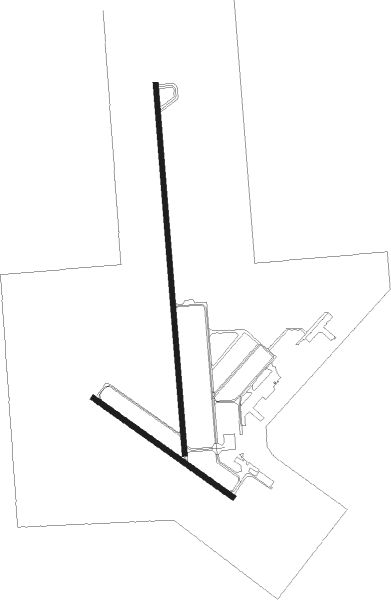
Runway info
Runway 17 / 35  | ||
| length | 2288m (7507ft) | |
| bearing | 180° / 0° | |
| width | 30m (98ft) | |
| surface | asphalt | |
| Runway 12 / 30 | ||
| length | 1053m (3455ft) | |
| bearing | 117° / 297° | |
| width | 30m (100ft) | |
| surface | asphalt | |
| displ threshold | 61m (200ft) / 0m (0ft) | |
Nearby beacons
| code | identifier | dist | bearing | frequency |
|---|---|---|---|---|
| 6G | DEER DME | 0.3 | 41° | 113.80 |
| YQF | RED DEER NDB | 2.8 | 194° | 320 |
| K2 | OLDS-DIDSBURY NDB | 29.1 | 205° | 376 |
| D3 | PONOKA INDUS NDB | 32.1 | 29° | 363 |
| 9G | SUNDRE NDB | 37.8 | 244° | 405 |
Departure and arrival routes
| Transition altitude | 18000ft |
| Transition level | 18000ft |
| SID end points | distance | outbound heading | |
|---|---|---|---|
| RW17 | |||
| CYQF1 | 67mi | 48° | |
| RW35 | |||
| CYQF1 | 67mi | 48° | |
Instrument approach procedures
| runway | airway (heading) | route (dist, bearing) |
|---|---|---|
| RW12 | MIXUN (144°) | MIXUN OVERU (6mi, 233°) 4700ft |
| RW12 | SUSOX (97°) | SUSOX OVERU (6mi, 53°) 4700ft |
| RNAV | OVERU 4700ft KEVDA (6mi, 117°) 4700ft CYQF (6mi, 116°) 3005ft SIGNU (7mi, 118°) 5100ft SIGNU (turn) | |
| RW17 | LERUK (217°) | LERUK SAVOK (6mi, 270°) 4700ft |
| RW17 | RERAV (141°) | RERAV SAVOK (6mi, 90°) 4700ft |
| RNAV | SAVOK 4700ft DAVAG (6mi, 180°) 4700ft GOSOG (3mi, 180°) 3780ft CYQF (4mi, 175°) 2982ft MAXAS (6mi, 183°) 5100ft MAXAS (turn) | |
| RW30 | BORET (278°) | BORET AXAKA (6mi, 234°) 4700ft |
| RW30 | DUROK (327°) | DUROK AXAKA (6mi, 53°) 4700ft |
| RNAV | AXAKA 4700ft KEGMU (6mi, 297°) 4700ft OVEVU (3mi, 297°) 3780ft CYQF (3mi, 299°) 2999ft URSAG (7mi, 296°) 5100ft URSAG (turn) | |
| RW35 | LEVEG (42°) | LEVEG IGRUS (6mi, 90°) 5100ft |
| RW35 | ROLKI (320°) | ROLKI IGRUS (6mi, 270°) 5100ft |
| RNAV | IGRUS 5100ft PIDMI (6mi, 360°) 4700ft VIDVA (2mi, 360°) 4080ft CYQF (3mi, 5°) 2999ft MERTU (7mi, 358°) 5100ft MERTU (turn) |
Disclaimer
The information on this website is not for real aviation. Use this data with the X-Plane flight simulator only! Data taken with kind consent from X-Plane 12 source code and data files. Content is subject to change without notice.