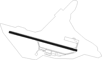
Watson Lake
Airport details
| Country | Canada |
| State | Yukon |
| Region | CY |
| Airspace | Edmonton Ctr |
| Municipality | Watson Lake |
| Elevation | 2253ft (687m) |
| Timezone | GMT -8 |
| Coordinates | 60.11633, -128.82249 |
| Magnetic var | |
| Type | land |
| Available since | X-Plane v10.40 |
| ICAO code | CYQH |
| IATA code | YQH |
| FAA code | n/a |
Communication
| Watson Lake Watson Lake Airport Radio | 122.100 |
| Watson Lake Whitehorse Radio | 123.375 |
Approach frequencies
| ILS-cat-I | RW09 | 110.3 | 18.00mi |
| 3° GS | RW09 | 110.3 | 18.00mi |
Nearby beacons
| code | identifier | dist | bearing | frequency |
|---|---|---|---|---|
| YQH | WATSON LAKE VOR/DME | 2 | 230° | 114.90 |
| QH | WATSON LAKE NDB | 3.6 | 340° | 248 |
Instrument approach procedures
| runway | airway (heading) | route (dist, bearing) |
|---|---|---|
| RW09-Y | PETNI (117°) | PETNI MAXOK (5mi, 216°) 5000ft |
| RW09-Y | SINSI (87°) | SINSI MAXOK (5mi, 35°) 5000ft |
| RNAV | MAXOK 5000ft VIBVO (6mi, 100°) 3600ft CYQH (5mi, 100°) 2300ft (6498mi, 115°) 2700ft XOVNA (6501mi, 295°) 5000ft XOVNA (turn) | |
| RW09-Z | DEGBO (125°) | DEGBO KERGU (5mi, 229°) 5000ft |
| RW09-Z | VIRPI (92°) | VIRPI KERGU (5mi, 49°) 5000ft |
| RNAV | KERGU 5000ft APMEM (6mi, 106°) 3600ft DUXAD (4mi, 106°) 2459ft (6499mi, 115°) 2660ft XOVNA (6501mi, 295°) 5000ft XOVNA (turn) | |
| RW27-Y | BIPTU (296°) | BIPTU KENRI (5mi, 36°) 5400ft |
| RW27-Y | SIBKU (268°) | SIBKU KENRI (5mi, 216°) 5400ft |
| RNAV | KENRI 5400ft LOKVI (6mi, 280°) 4100ft CYQH (5mi, 280°) 2305ft (6498mi, 115°) 2700ft MUNLA (6501mi, 295°) 5700ft MUNLA (turn) | |
| RW27-Z | ONDEG (275°) | ONDEG OMRUV (5mi, 235°) 5400ft |
| RW27-Z | TUDOK (309°) | TUDOK OMRUV (5mi, 54°) 5400ft |
| RNAV | OMRUV 5400ft KEKNI (5mi, 289°) 4100ft NUDER (2mi, 289°) 3550ft VIXOP (4mi, 289°) 2301ft MUNLA (8mi, 289°) 5700ft MUNLA (turn) |
Disclaimer
The information on this website is not for real aviation. Use this data with the X-Plane flight simulator only! Data taken with kind consent from X-Plane 12 source code and data files. Content is subject to change without notice.