Gander - Gander Intl
Airport details
| Country | Canada |
| State | Newfoundland and Labrador |
| Region | CY |
| Airspace | Gander Oceanic Ctr |
| Municipality | Gander |
| Elevation | 496ft (151m) |
| Timezone | GMT -3.5 |
| Coordinates | 48.93702, -54.56813 |
| Magnetic var | |
| Type | land |
| Available since | X-Plane v10.40 |
| ICAO code | CYQX |
| IATA code | YQX |
| FAA code | n/a |
Communication
| Gander Intl ATIS | 124.800 |
| Gander Intl Ground Control | 121.900 |
| Gander Intl Tower | 118.100 |
| Gander Intl Approach/Departure | 132.100 |
| Gander Intl Approach/Departure | 128.500 |
Approach frequencies
| ILS-cat-I | RW13 | 109.9 | 18.00mi |
| ILS-cat-I | RW03 | 109.5 | 18.00mi |
| 3° GS | RW13 | 109.9 | 18.00mi |
| 3° GS | RW03 | 109.5 | 18.00mi |
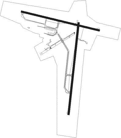
Runway info
Runway 03 / 21  | ||
| length | 3106m (10190ft) | |
| bearing | 16° / 196° | |
| width | 61m (200ft) | |
| surface | asphalt | |
| blast zone | 61m (200ft) / 94m (308ft) | |
| Runway 13 / 31 | ||
| length | 2698m (8852ft) | |
| bearing | 102° / 282° | |
| width | 61m (200ft) | |
| surface | asphalt | |
| blast zone | 52m (171ft) / 50m (164ft) | |
| Runway 12 / 30 | ||
| length | 1063m (3488ft) | |
| bearing | 110° / 290° | |
| width | 50m (164ft) | |
Nearby beacons
| code | identifier | dist | bearing | frequency |
|---|---|---|---|---|
| YQX | GANDER VOR/DME | 2.5 | 138° | 112.70 |
| QX | GANDER NDB | 4.3 | 285° | 280 |
| 7C | FOGO NDB | 45.3 | 24° | 237 |
Instrument approach procedures
| runway | airway (heading) | route (dist, bearing) |
|---|---|---|
| RW03 | IKDIX (339°) | IKDIX EMLEL (5mi, 277°) 1900ft |
| RW03 | KITAS (46°) | KITAS EMLEL (5mi, 97°) 1900ft |
| RNAV | EMLEL 1900ft BOSEK (6mi, 16°) 1800ft XIKOX (2mi, 16°) 1210ft CYQX (3mi, 11°) 478ft APLAX (4mi, 20°) 2700ft APLAX (turn) | |
| RW13 | KAPAT (123°) | KAPAT UKIGI (5mi, 206°) 1900ft |
| RW13 | VOGOL (88°) | VOGOL UKIGI (5mi, 26°) 1900ft |
| RNAV | UKIGI 1900ft RIKIB (6mi, 102°) 1900ft CYQX (5mi, 107°) 530ft SIBSU (4mi, 95°) 2700ft SIBSU (turn) | |
| RW21 | OMOTA (226°) | OMOTA KEKDA (5mi, 277°) 2100ft |
| RW21 | VIRDU (163°) | VIRDU KEKDA (5mi, 97°) 2100ft |
| RNAV | KEKDA 2100ft GUDOB (6mi, 196°) 2100ft CYQX (6mi, 199°) 504ft IRGOM (9mi, 194°) 2700ft IRGOM (turn) 2700ft | |
| RW31 | PEPMU (264°) | PEPMU LEVAD (5mi, 206°) 2100ft |
| RW31 | URPIS (298°) | URPIS LEVAD (5mi, 26°) 2100ft |
| RNAV | LEVAD 2100ft GOSIN (6mi, 282°) 2100ft CYQX (6mi, 277°) 491ft IMAMO (10mi, 285°) 2700ft IMAMO (turn) 2700ft |
Disclaimer
The information on this website is not for real aviation. Use this data with the X-Plane flight simulator only! Data taken with kind consent from X-Plane 12 source code and data files. Content is subject to change without notice.