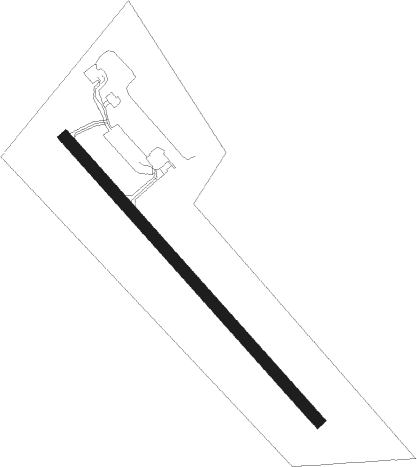
Roberval
Airport details
| Country | Canada |
| State | Quebec |
| Region | CY |
| Airspace | Montreal Ctr |
| Municipality | Roberval |
| Elevation | 584ft (178m) |
| Timezone | GMT -5 |
| Coordinates | 48.51989, -72.26597 |
| Magnetic var | |
| Type | land |
| Available since | X-Plane v10.40 |
| ICAO code | CYRJ |
| IATA code | YRJ |
| FAA code | n/a |
Communication
| Roberval MF | 122.200 |
Nearby beacons
| code | identifier | dist | bearing | frequency |
|---|---|---|---|---|
| RJ | ROBERVAL NDB | 1.8 | 311° | 378 |
| VBS | SAGUENAY VOR/DME | 49.9 | 117° | 114.20 |
Instrument approach procedures
| runway | airway (heading) | route (dist, bearing) |
|---|---|---|
| RW16 | ENEKI (162°) | ENEKI DULTI (5mi, 243°) 2100ft |
| RW16 | IKMUK (109°) | IKMUK DULTI (5mi, 63°) 2100ft |
| RNAV | DULTI 2100ft AVTEP (6mi, 131°) 2000ft CYRJ (5mi, 131°) 636ft BONUD (5mi, 131°) 2700ft BONUD (turn) | |
| RW34 | KELGI (290°) | KELGI MITAP (5mi, 243°) 2400ft |
| RW34 | NAGPA (342°) | NAGPA MITAP (5mi, 63°) 2400ft |
| RNAV | MITAP 2400ft TIBOK (6mi, 311°) 2000ft CYRJ (5mi, 311°) 610ft OTNEK (4mi, 311°) 2700ft OTNEK (turn) |
Disclaimer
The information on this website is not for real aviation. Use this data with the X-Plane flight simulator only! Data taken with kind consent from X-Plane 12 source code and data files. Content is subject to change without notice.
