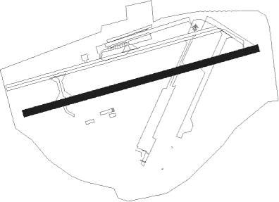
Ottawa - Rockcliffe
Airport details
| Country | Canada |
| State | Ontario |
| Region | CY |
| Airspace | Montreal Ctr |
| Municipality | Ottawa |
| Elevation | 187ft (57m) |
| Timezone | GMT -5 |
| Coordinates | 45.46028, -75.64611 |
| Magnetic var | |
| Type | land |
| Available since | X-Plane v10.40 |
| ICAO code | CYRO |
| IATA code | YRO |
| FAA code | n/a |
Communication
| Rockcliffe CTAF/UNICOM | 123.500 |
Nearby beacons
| code | identifier | dist | bearing | frequency |
|---|---|---|---|---|
| OW | OTTAWA NDB | 6.9 | 140° | 236 |
| YOW | OTTAWA VOR/DME | 10.6 | 266° | 114.60 |
| YMW | MANIWAKI NDB | 46.7 | 337° | 366 |
| OG | OGIVE (OGDENSBURG) NDB | 47.2 | 159° | 358 |
| MS | MISSE (MASSENA) NDB | 47.7 | 130° | 278 |
| MSS | MASSENA TACAN | 51 | 121° | 114.10 |
| PTD | POTSDAM NDB | 54.8 | 134° | 400 |
Instrument approach procedures
| runway | airway (heading) | route (dist, bearing) |
|---|---|---|
| RW09 | KAXIB (74°) | KAXIB IKUTA (4mi, 56°) 2700ft |
| RNAV | IKUTA 2700ft EBNAB (5mi, 82°) 1300ft OMROS (1mi, 82°) 1000ft CYRO (2mi, 82°) 233ft ANAGA (6mi, 82°) 3000ft ANAGA (turn) | |
| RWNVA | KEKLA (256°) | KEKLA ITBOV (6mi, 246°) 3000ft |
| RNAV | ITBOV 3000ft URLAB (5mi, 262°) 1500ft CYRO (4mi, 262°) 225ft NUDOP (6mi, 262°) 3000ft NUDOP (turn) |
Disclaimer
The information on this website is not for real aviation. Use this data with the X-Plane flight simulator only! Data taken with kind consent from X-Plane 12 source code and data files. Content is subject to change without notice.
