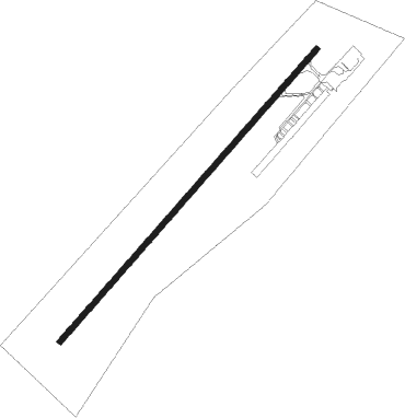
St Georges
Airport details
| Country | Canada |
| State | Quebec |
| Region | CY |
| Airspace | Montreal Ctr |
| Municipality | Saint-Georges |
| Elevation | 893ft (272m) |
| Timezone | GMT -5 |
| Coordinates | 46.09636, -70.71458 |
| Magnetic var | |
| Type | land |
| Available since | X-Plane v10.40 |
| ICAO code | CYSG |
| IATA code | n/a |
| FAA code | n/a |
Communication
| St Georges MF/UNICOM | 122.150 |
Nearby beacons
| code | identifier | dist | bearing | frequency |
|---|---|---|---|---|
| VLV | DME | 11.6 | 218° | 117.20 |
| QB | QUEBEC NDB | 49.9 | 311° | 230 |
| BV | CHAMPLAIN (QUEBEC) NDB | 52.1 | 324° | 336 |
| YQB | QUEBEC VORTAC | 52.5 | 304° | 112.80 |
Instrument approach procedures
| runway | airway (heading) | route (dist, bearing) |
|---|---|---|
| RW06-Y | LENIV (80°) | LENIV IKBOK (6mi, 126°) 2500ft |
| RW06-Y | RETIT (22°) | RETIT IKBOK (6mi, 306°) 2700ft |
| RNAV | IKBOK 2500ft BENAB (5mi, 56°) 2500ft GOXUR (2mi, 56°) 1880ft CYSG (3mi, 56°) 909ft OBVED (7mi, 56°) 2800ft OBVED (turn) | |
| RW06-Z | LENIV (80°) | LENIV IKBOK (6mi, 126°) 2500ft |
| RW06-Z | RETIT (22°) | RETIT IKBOK (6mi, 306°) 2700ft |
| RNAV | IKBOK 2500ft BENAB (5mi, 56°) 2500ft GOXUR (2mi, 56°) 1880ft KELKI (2mi, 56°) 1071ft OBVED (7mi, 56°) 2800ft OBVED (turn) | |
| RW24 | AVTAG (202°) | AVTAG ITRAL (6mi, 126°) 2800ft |
| RW24 | LEXAB (260°) | LEXAB ITRAL (6mi, 306°) 2800ft |
| RNAV | ITRAL 2800ft USDAK (5mi, 236°) 2500ft VIXIP (2mi, 236°) 1730ft CYSG (3mi, 236°) 933ft ILOGO (7mi, 236°) 2900ft ILOGO (turn) |
Disclaimer
The information on this website is not for real aviation. Use this data with the X-Plane flight simulator only! Data taken with kind consent from X-Plane 12 source code and data files. Content is subject to change without notice.
