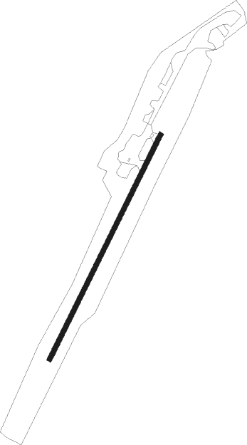
Atlin
Airport details
| Country | Canada |
| State | British Columbia |
| Region | CY |
| Airspace | Edmonton Ctr |
| Municipality | Stikine Region |
| Elevation | 2351ft (717m) |
| Timezone | GMT -8 |
| Coordinates | 59.57633, -133.67133 |
| Magnetic var | |
| Type | land |
| Available since | X-Plane v10.32 |
| ICAO code | CYSQ |
| IATA code | n/a |
| FAA code | n/a |
Communication
| Atlin Atlin Traffic | 123.200 |
| Atlin Whitehorse Radio | 123.550 |
Instrument approach procedures
| runway | airway (heading) | route (dist, bearing) |
|---|---|---|
| RWNVA | ALPIP (131°) | ALPIP KAVER (9mi, 98°) 6700ft BUBIG (3mi, 188°) 6200ft |
| RWNVA | IGTOR (232°) | IGTOR XIDOS (5mi, 262°) 7800ft KAVER (3mi, 262°) 6700ft BUBIG (3mi, 188°) 6200ft |
| RNAV | BUBIG 6200ft LESUR (3mi, 188°) 5500ft TILIV (4mi, 188°) 3940ft REXUV (5mi, 188°) BITMU (8mi, 161°) 8800ft BITMU (turn) | |
| RWNVB | LENOT (282°) | LENOT PEPRO (15mi, 253°) 6600ft MUSPU (6mi, 299°) 6400ft |
| RNAV | MUSPU 6400ft URMEP (6mi, 339°) 5000ft CYSQ (5mi, 349°) 3560ft IMIXI (4mi, 340°) ALPIP (12mi, 305°) 8700ft ALPIP (turn) | |
| RWNVC | ALPIP (131°) | ALPIP KAVER (9mi, 98°) 6700ft BUBIG (3mi, 188°) 6200ft |
| RWNVC | IGTOR (232°) | IGTOR XIDOS (5mi, 262°) 7800ft KAVER (3mi, 262°) 6700ft BUBIG (3mi, 188°) 6200ft |
| RNAV | BUBIG 6200ft LESUR (3mi, 188°) 5500ft TILIV (4mi, 188°) 4500ft REXUV (5mi, 188°) BITMU (8mi, 161°) 8800ft BITMU (turn) |
Disclaimer
The information on this website is not for real aviation. Use this data with the X-Plane flight simulator only! Data taken with kind consent from X-Plane 12 source code and data files. Content is subject to change without notice.