Ste-anne-des-monts
Airport details
| Country | Canada |
| State | Quebec |
| Region | CY |
| Airspace | Montreal Ctr |
| Municipality | Sainte-Anne-des-Monts |
| Elevation | 73ft (22m) |
| Timezone | GMT -5 |
| Coordinates | 49.12235, -66.53699 |
| Magnetic var | |
| Type | land |
| Available since | X-Plane v10.40 |
| ICAO code | CYSZ |
| IATA code | n/a |
| FAA code | n/a |
Communication
| Ste-Anne-Des-Monts CTAF | 122.800 |
Runway info
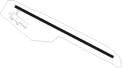
| Runway 14 / 32 | ||
| length | 1206m (3957ft) | |
| bearing | 112° / 292° | |
| width | 27m (90ft) | |
| surface | asphalt | |
| displ threshold | 0m (0ft) / 90m (295ft) | |
Nearby beacons
| code | identifier | dist | bearing | frequency |
|---|---|---|---|---|
| K7 | STE-ANNE-DES-MONTS NDB | 0.6 | 296° | 211 |
Instrument approach procedures
| runway | airway (heading) | route (dist, bearing) |
|---|---|---|
| RW14 | AVDOG (82°) | AVDOG NAKEP (6mi, 31°) 2000ft |
| RW14 | OBRAV (135°) | OBRAV NAKEP (6mi, 211°) 2000ft |
| RNAV | NAKEP 2000ft LOKTU (5mi, 105°) 1400ft DURID (3mi, 105°) 570ft OBRAV (10mi, 320°) 2000ft OBRAV (turn) |
Disclaimer
The information on this website is not for real aviation. Use this data with the X-Plane flight simulator only! Data taken with kind consent from X-Plane 12 source code and data files. Content is subject to change without notice.