Tilsonburg - Tillsonburg
Airport details
| Country | Canada |
| State | Ontario |
| Region | CY |
| Airspace | Toronto Ctr |
| Municipality | South-West Oxford |
| Elevation | 893ft (272m) |
| Timezone | GMT -5 |
| Coordinates | 42.92649, -80.74707 |
| Magnetic var | |
| Type | land |
| Available since | X-Plane v10.40 |
| ICAO code | CYTB |
| IATA code | n/a |
| FAA code | n/a |
Communication
| Tillsonburg UNICOM | 123.000 |
Nearby Points of Interest:
Annandale National Historic Site
-Old Woodstock Town Hall
-Canada Southern Railway Station
-BX InterlockingTower
-London Normal School
-Cliff Site
-Port Stanley
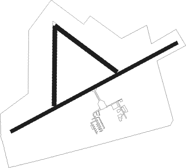
Runway info
Runway 14 / 32  | ||
| length | 660m (2165ft) | |
| bearing | 123° / 303° | |
| width | 37m (120ft) | |
| surface | grass | |
| displ threshold | 65m (213ft) / 0m (0ft) | |
| Runway 02 / 20 | ||
| length | 685m (2247ft) | |
| bearing | 7° / 187° | |
| width | 37m (120ft) | |
| surface | grass | |
| Runway 08 / 26 | ||
| length | 1675m (5495ft) | |
| bearing | 72° / 252° | |
| width | 30m (100ft) | |
| surface | asphalt | |
| displ threshold | 0m (0ft) / 302m (991ft) | |
Nearby beacons
| code | identifier | dist | bearing | frequency |
|---|---|---|---|---|
| FD | BRANTFORD NDB | 17 | 66° | 207 |
| YXU | LONDON VOR/DME | 18.8 | 285° | 117.20 |
| HM | HAMILTON NDB | 34.5 | 75° | 221 |
| ZHA | ANCASTER (HAMILTON) NDB | 35.5 | 69° | 397 |
| WT | (KITCHENER) DME | 35.7 | 35° | 115 |
| ZKF | WELLINGTON (KITCHENER) NDB | 39.5 | 39° | 335 |
| ZHM | BINBROOK (HAMILTON) NDB | 43.8 | 77° | 266 |
| ERI | ERIE VORTAC | 58.1 | 153° | 109.40 |
Instrument approach procedures
| runway | airway (heading) | route (dist, bearing) |
|---|---|---|
| RW08-Y | ALUPA (50°) | ALUPA IPVAP (5mi, 329°) 2400ft |
| RW08-Y | DUPDO (91°) | DUPDO IPVAP (5mi, 149°) 2400ft |
| RNAV | IPVAP 2400ft TEXIG (6mi, 72°) 2300ft CYTB (5mi, 72°) 934ft EMAVU (5mi, 73°) 3000ft EMAVU (turn) | |
| RW08-Z | ALUPA (50°) | ALUPA IPVAP (5mi, 329°) 2400ft |
| RW08-Z | DUPDO (91°) | DUPDO IPVAP (5mi, 149°) 2400ft |
| RNAV | IPVAP 2400ft TEXIG (6mi, 72°) 2300ft XOVUD (2mi, 72°) 1570ft CYTB (2mi, 71°) 934ft EMAVU (5mi, 73°) 3000ft EMAVU (turn) | |
| RW26 | BOPUD (230°) | BOPUD DAPEB (5mi, 149°) 2400ft |
| RW26 | EMLIG (271°) | EMLIG DAPEB (5mi, 329°) 2400ft |
| RNAV | DAPEB 2400ft GOSUV (6mi, 252°) 2330ft LERER (4mi, 252°) 993ft KANIT (5mi, 252°) 3000ft KANIT (turn) |
Disclaimer
The information on this website is not for real aviation. Use this data with the X-Plane flight simulator only! Data taken with kind consent from X-Plane 12 source code and data files. Content is subject to change without notice.