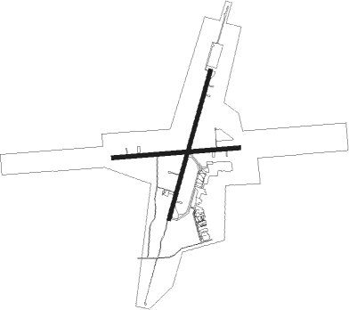
Timmins - Timmins Victor M Power
Airport details
| Country | Canada |
| State | Ontario |
| Region | CY |
| Airspace | Toronto Ctr |
| Municipality | Timmins |
| Elevation | 966ft (294m) |
| Timezone | GMT -5 |
| Coordinates | 48.57066, -81.37664 |
| Magnetic var | |
| Type | land |
| Available since | X-Plane v10.40 |
| ICAO code | CYTS |
| IATA code | YTS |
| FAA code | n/a |
Communication
Approach frequencies
| ILS-cat-I | RW03 | 109.7 | 18.00mi |
| 3° GS | RW03 | 109.7 | 18.00mi |

Nearby beacons
| code | identifier | dist | bearing | frequency |
|---|---|---|---|---|
| YTS | TIMMINS VOR/DME | 0.2 | 78° | 113 |
Instrument approach procedures
| runway | airway (heading) | route (dist, bearing) |
|---|---|---|
| RW03 | BONAG (56°) | BONAG GUBUP (5mi, 104°) 2600ft |
| RW03 | GUBUP (28°) | GUBUP 2600ft |
| RW03 | PETSU (351°) | PETSU GUBUP (5mi, 284°) 2600ft |
| RNAV | GUBUP 2600ft NADUR (6mi, 29°) 2300ft CYTS (5mi, 27°) 1013ft PIVOD (5mi, 30°) 3100ft PIVOD (turn) | |
| RW10 | DUSDU (107°) | DUSDU UDKEM (5mi, 180°) 2600ft |
| RW10 | OVOLO (72°) | OVOLO UDKEM (5mi, 360°) 2600ft |
| RW10 | UDKEM (90°) | UDKEM 2600ft |
| RNAV | UDKEM 2600ft LEPIT (6mi, 90°) 2300ft XUGPA (3mi, 90°) 1490ft CYTS (2mi, 89°) 1011ft TETAS (5mi, 90°) 3100ft TETAS (turn) | |
| RW21 | MAWDS (210°) | MAWDS 2600ft |
| RW21 | SEBUS (237°) | SEBUS MAWDS (5mi, 284°) 2600ft |
| RW21 | TANKU (173°) | TANKU MAWDS (5mi, 104°) 2600ft |
| RNAV | MAWDS 2600ft BOTEV (6mi, 209°) 2300ft CYTS (5mi, 210°) 1005ft EMKIB (4mi, 207°) 3100ft EMKIB (turn) | |
| RW28 | KIVAD (253°) | KIVAD PODOP (5mi, 180°) 3000ft |
| RW28 | MIVUD (288°) | MIVUD PODOP (5mi, 0°) 3000ft |
| RW28 | PODOP (270°) | PODOP 3000ft |
| RNAV | PODOP 3000ft LEXUG (6mi, 270°) 2300ft USBUG (2mi, 270°) 1650ft CYTS (2mi, 271°) 1014ft SEKOG (5mi, 270°) 3100ft SEKOG (turn) |
Disclaimer
The information on this website is not for real aviation. Use this data with the X-Plane flight simulator only! Data taken with kind consent from X-Plane 12 source code and data files. Content is subject to change without notice.