Bonaventure
Airport details
| Country | Canada |
| State | Quebec |
| Region | CY |
| Airspace | Montreal Ctr |
| Municipality | Bonaventure |
| Elevation | 123ft (37m) |
| Timezone | GMT -5 |
| Coordinates | 48.06813, -65.45898 |
| Magnetic var | |
| Type | land |
| Available since | X-Plane v10.40 |
| ICAO code | CYVB |
| IATA code | YVB |
| FAA code | n/a |
Communication
| Bonaventure MF/UNICOM | 123.000 |
Nearby Points of Interest:
Banc de Pêche de Paspébiac
-Pont de Saint-Edgar
-Port-Daniel railway station
-Sainte-Anne-du-Bocage Chapel
-Site du Collège de Caraquet
-Site du Mont-Saint-Joseph
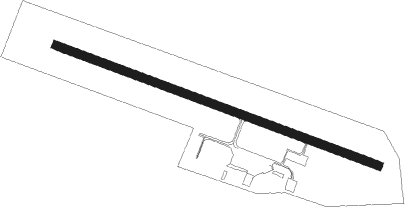
Runway info
| Runway 13 / 31 | ||
| length | 1826m (5991ft) | |
| bearing | 107° / 287° | |
| width | 46m (150ft) | |
| surface | asphalt | |
Nearby beacons
| code | identifier | dist | bearing | frequency |
|---|---|---|---|---|
| 1F | BATHURST NDB | 28.6 | 213° | 363 |
| W7 | PABOK (DU ROCHER-PERCE)(PETIT NDB | 40.4 | 71° | 219 |
Instrument approach procedures
| runway | airway (heading) | route (dist, bearing) |
|---|---|---|
| RW13 | AVEGU (108°) | AVEGU UDLOD (5mi, 107°) 2700ft |
| RW13 | ENAGO (90°) | ENAGO UDLOD (5mi, 34°) 2700ft |
| RNAV | UDLOD 2700ft IKLIS (4mi, 107°) 1800ft CYVB (6mi, 108°) 173ft MUROK (6mi, 106°) 3500ft MUROK (turn) | |
| RW31 | LONTU (308°) | LONTU IGSEP (5mi, 35°) 1700ft |
| RW31 | RAGEB (270°) | RAGEB IGSEP (5mi, 215°) 1700ft |
| RNAV | IGSEP 1700ft AMBOM (6mi, 287°) 1500ft SASIB (2mi, 287°) 850ft CYVB (3mi, 285°) 148ft BUBAX (5mi, 289°) 2900ft BUBAX (turn) 2900ft |
Disclaimer
The information on this website is not for real aviation. Use this data with the X-Plane flight simulator only! Data taken with kind consent from X-Plane 12 source code and data files. Content is subject to change without notice.