Petawawa
Airport details
| Country | Canada |
| State | Ontario |
| Region | |
| Airspace | Toronto Ctr |
| Municipality | Petawawa |
| Elevation | 423ft (129m) |
| Timezone | GMT -5 |
| Coordinates | 45.95211, -77.31907 |
| Magnetic var | |
| Type | land |
| Available since | X-Plane v10.40 |
| ICAO code | CYWA |
| IATA code | YWA |
| FAA code | n/a |
Communication
Nearby Points of Interest:
Fort William
-Pembroke Public Library
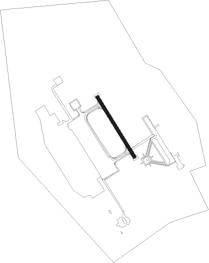
Runway info
| Runway 15 / 33 | ||
| length | 495m (1624ft) | |
| bearing | 144° / 324° | |
| width | 25m (83ft) | |
| surface | concrete | |
Nearby beacons
| code | identifier | dist | bearing | frequency |
|---|---|---|---|---|
| YWA | PETAWAWA NDB | 3.9 | 140° | 516 |
| YTA | PEMBROKE NDB | 9.8 | 146° | 409 |
| YXI | DME | 21 | 224° | 115.60 |
Disclaimer
The information on this website is not for real aviation. Use this data with the X-Plane flight simulator only! Data taken with kind consent from X-Plane 12 source code and data files. Content is subject to change without notice.