Wainwright
Airport details
| Country | Canada |
| State | Alberta |
| Region | CY |
| Airspace | Edmonton Ctr |
| Municipality | Municipal District of Wainwright |
| Elevation | 2229ft (679m) |
| Timezone | GMT -7 |
| Coordinates | 52.79583, -110.85750 |
| Magnetic var | |
| Type | land |
| Available since | X-Plane v10.40 |
| ICAO code | CYWV |
| IATA code | n/a |
| FAA code | n/a |
Communication
| Wainwright CTAF/UNICOM | 122.800 |
Runway info
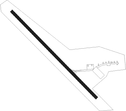
| Runway 13 / 31 | ||
| length | 914m (2999ft) | |
| bearing | 126° / 306° | |
| width | 23m (75ft) | |
| surface | asphalt | |
Nearby beacons
| code | identifier | dist | bearing | frequency |
|---|---|---|---|---|
| YWV | DME | 11.1 | 7° | 114.50 |
| YLL | LLOYDMINSTER NDB | 41.8 | 56° | 241 |
| 3H | CONSORT NDB | 46.6 | 172° | 276 |
| 5J | CORONATION NDB | 48.4 | 219° | 328 |
Instrument approach procedures
| runway | airway (heading) | route (dist, bearing) |
|---|---|---|
| RW31 | OMLOG (253°) | OMLOG DUDNU (6mi, 164°) 3700ft |
| RW31 | SEPMU (270°) | SEPMU DUDNU (6mi, 264°) 3700ft |
| RNAV | DUDNU 3700ft OBREP (6mi, 264°) 3300ft UKTIL (3mi, 282°) 3058ft OMLOG (9mi, 63°) 3800ft OMLOG (turn) 3800ft |
Disclaimer
The information on this website is not for real aviation. Use this data with the X-Plane flight simulator only! Data taken with kind consent from X-Plane 12 source code and data files. Content is subject to change without notice.