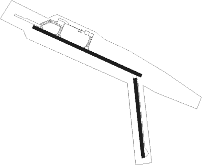
Armstrong
Airport details
| Country | Canada |
| State | Ontario |
| Region | CY |
| Airspace | Winnipeg Ctr |
| Municipality | Unorganized Thunder Bay District |
| Elevation | 1058ft (322m) |
| Timezone | GMT -5 |
| Coordinates | 50.29028, -88.90972 |
| Magnetic var | |
| Type | land |
| Available since | X-Plane v10.32 |
| ICAO code | CYYW |
| IATA code | YYW |
| FAA code | n/a |
Communication
| Armstrong CTAF | 122.800 |

Instrument approach procedures
| runway | airway (heading) | route (dist, bearing) |
|---|---|---|
| RW12 | ROPRA (132°) | ROPRA PIKMU (5mi, 220°) 2700ft |
| RW12 | SEDOB (93°) | SEDOB PIKMU (5mi, 40°) 2700ft |
| RNAV | PIKMU 2700ft MUTOG (6mi, 109°) 2400ft XORDI (2mi, 109°) 1770ft CYYW (3mi, 113°) 1100ft UKOKI (5mi, 108°) 2700ft UKOKI (turn) | |
| RW30 | TETIB (311°) | TETIB TAGAX (5mi, 41°) 2400ft |
| RW30 | VIPVO (271°) | VIPVO TAGAX (5mi, 221°) 2400ft |
| RNAV | TAGAX 2400ft REROL (6mi, 289°) 2400ft OMOPI (2mi, 289°) 1870ft CYYW (3mi, 286°) 1106ft KAPUD (5mi, 291°) 2700ft KAPUD (turn) |
Disclaimer
The information on this website is not for real aviation. Use this data with the X-Plane flight simulator only! Data taken with kind consent from X-Plane 12 source code and data files. Content is subject to change without notice.