Salmon Arm
Airport details
| Country | Canada |
| State | British Columbia |
| Region | CY |
| Airspace | Vancouver Ctr |
| Municipality | Salmon Arm |
| Elevation | 1750ft (533m) |
| Timezone | GMT -8 |
| Coordinates | 50.68667, -119.23408 |
| Magnetic var | |
| Type | land |
| Available since | X-Plane v10.40 |
| ICAO code | CZAM |
| IATA code | YSN |
| FAA code | n/a |
Communication
| Salmon Arm CTAF/UNICOM | 122.900 |
Runway info
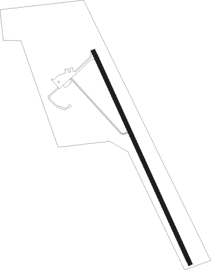
| Runway 14 / 32 | ||
| length | 1311m (4301ft) | |
| bearing | 150° / 330° | |
| width | 23m (75ft) | |
| surface | asphalt | |
| displ threshold | 1m (3ft) / 2m (7ft) | |
| blast zone | 62m (203ft) / 0m (0ft) | |
Nearby beacons
| code | identifier | dist | bearing | frequency |
|---|---|---|---|---|
| V6 | SALMON ARM NDB | 0 | 127° | 280 |
| YNY | DME | 11.2 | 92° | 115.20 |
| 6K | VERNON NDB | 20.2 | 184° | 302 |
| LW | KELOWNA NDB | 38.2 | 196° | 257 |
| EX | RUTLAND (KELOWNA) NDB | 45.1 | 191° | 374 |
| YWB | WESTBANK (KELOWNA) NDB | 54.7 | 204° | 389 |
Instrument approach procedures
| runway | airway (heading) | route (dist, bearing) |
|---|---|---|
| RW14 | ENDBY (272°) | ENDBY MIDPO (20mi, 314°) 8600ft ETMAS (7mi, 256°) 6500ft |
| RW14 | FELKO (76°) | FELKO KEGPI (7mi, 14°) 7300ft OVBIP (14mi, 23°) 7000ft ETMAS (7mi, 89°) 6500ft |
| RW14 | SUTNI (149°) | SUTNI ETMAS (6mi, 162°) 6500ft |
| RNAV | ETMAS 6500ft VIVUL (5mi, 162°) 5490ft URTEG (4mi, 136°) 4010ft XOSEM (5mi, 136°) 2147ft IMAKU (5mi, 136°) DUDPI (15mi, 201°) 7300ft DUDPI (turn) | |
| RW32 | HUMEK (12°) | HUMEK ULAGI (6mi, 71°) 7700ft |
| RW32 | VOGOT (335°) | VOGOT ULAGI (6mi, 311°) 7700ft |
| RNAV | ULAGI 7700ft PIDFU (4mi, 13°) 6500ft KEVKU (3mi, 13°) 5800ft XUDUG (5mi, 328°) 3800ft BITMI (3mi, 328°) 2602ft DUSRA (18mi, 328°) 7600ft DUSRA (turn) |
Disclaimer
The information on this website is not for real aviation. Use this data with the X-Plane flight simulator only! Data taken with kind consent from X-Plane 12 source code and data files. Content is subject to change without notice.