Sandy Lake
Airport details
| Country | Canada |
| State | Ontario |
| Region | CY |
| Airspace | Winnipeg Ctr |
| Municipality | Kenora District |
| Elevation | 951ft (290m) |
| Timezone | GMT -6 |
| Coordinates | 53.06418, -93.34438 |
| Magnetic var | |
| Type | land |
| Available since | X-Plane v10.40 |
| ICAO code | CZSJ |
| IATA code | ZSJ |
| FAA code | n/a |
Communication
| Sandy Lake ATF | 122.800 |
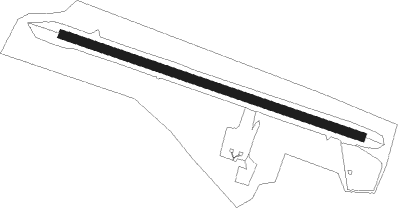
Runway info
| Runway 11 / 29 | ||
| length | 1069m (3507ft) | |
| bearing | 104° / 284° | |
| width | 30m (100ft) | |
| surface | gravel | |
Nearby beacons
| code | identifier | dist | bearing | frequency |
|---|---|---|---|---|
| ZSJ | SANDY LAKE NDB | 0.2 | 1° | 258 |
Instrument approach procedures
| runway | airway (heading) | route (dist, bearing) |
|---|---|---|
| RW11 | DESTI (125°) | DESTI IKMOV (5mi, 216°) 2600ft |
| RW11 | GABON (88°) | GABON IKMOV (5mi, 36°) 2600ft |
| RNAV | IKMOV 2600ft UDNAS (5mi, 104°) 2600ft CZSJ (5mi, 104°) 994ft ELISU (5mi, 105°) 2500ft ELISU (turn) | |
| RW29 | NAGIS (305°) | NAGIS LEPUM (5mi, 35°) 2600ft |
| RNAV | LEPUM 2600ft IKDAD (5mi, 285°) 2580ft CZSJ (5mi, 285°) 983ft HOLST (5mi, 284°) 2500ft HOLST (turn) |
Disclaimer
The information on this website is not for real aviation. Use this data with the X-Plane flight simulator only! Data taken with kind consent from X-Plane 12 source code and data files. Content is subject to change without notice.