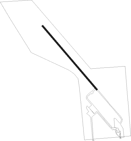
Fertile - Fertile Muni
Airport details
| Country | United States of America |
| State | Minnesota |
| Region | K3 |
| Airspace | Minneapolis Ctr |
| Municipality | Fertile |
| Elevation | 1133ft (345m) |
| Timezone | GMT -6 |
| Coordinates | 47.55192, -96.29220 |
| Magnetic var | |
| Type | land |
| Available since | X-Plane v10.40 |
| ICAO code | D14 |
| IATA code | n/a |
| FAA code | n/a |
Communication
Nearby Points of Interest:
Church of St. Peter-Catholic
-Congregational Church of Ada
-Ada Village Hall
-Mahnomen County Courthouse
-Mahnomen City Hall
-Red Lake County Courthouse
-Zion Lutheran Church
Nearby beacons
| code | identifier | dist | bearing | frequency |
|---|---|---|---|---|
| TVF | THIEF RIVER FALLS VOR/DME | 31.3 | 12° | 114.45 |
| AA | KENIE (FARGO) NDB | 38.9 | 224° | 365 |
| GF | HISER NDB | 40 | 288° | 345 |
| GFK | GRAND FORKS VOR/DME | 43.4 | 294° | 114.30 |
| DTL | DETROIT LAKES VOR/DME | 46.6 | 151° | 111.20 |
| FAR | FARGO VOR/DME | 53.1 | 215° | 116.20 |
Disclaimer
The information on this website is not for real aviation. Use this data with the X-Plane flight simulator only! Data taken with kind consent from X-Plane 12 source code and data files. Content is subject to change without notice.