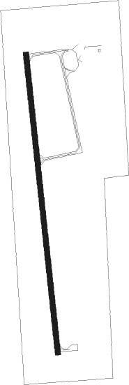
Luverne - Quentin Aanenson Fld
Airport details
| Country | United States of America |
| State | Minnesota |
| Region | K3 |
| Airspace | Minneapolis Ctr |
| Municipality | Rock County |
| Elevation | 1431ft (436m) |
| Timezone | GMT -6 |
| Coordinates | 43.61677, -96.21774 |
| Magnetic var | |
| Type | land |
| Available since | X-Plane v10.40 |
| ICAO code | D19 |
| IATA code | n/a |
| FAA code | LYV |
Communication
Nearby Points of Interest:
Holy Trinity Church-Episcopal
-Blue Mounds State Park WPA/Rustic Style Historic Resources
-Burlington, Cedar Rapids, and Northern Railroad-Rock Rapids Station, Railroad Track and Bridge
-Melan Bridge
-Lyon County Courthouse
-John Rowe House
-Church of St. Kilian
-Shafer Round Barn
-South Dakota School for the Deaf
-Renner Lutheran Church
-Eighth Street Bridge
-Rock Island Depot
-Sioux Falls National Bank Building
-Federal Building and United States Courthouse
-Grand Lodge and Library of the Ancient Free and Accepted Masons
-Central Fire Station
-Pipestone County Courthouse
-Jorden Hall
-Pipestone Public Library
-Osceola County Courthouse
-Carnegie Free Public Library
-William G. Milne House
-St. Peter's Lutheran Church
-Canton Lutheran Church
Runway info
| Runway 18 / 36 | ||
| length | 1281m (4203ft) | |
| bearing | 178° / 358° | |
| width | 23m (75ft) | |
| surface | asphalt | |
Nearby beacons
| code | identifier | dist | bearing | frequency |
|---|---|---|---|---|
| FSD | SIOUX FALLS VORTAC | 24.5 | 273° | 115 |
| FS | ROKKY (SIOUX FALLS) NDB | 27.6 | 259° | 245 |
| OTG | WORTHINGTON VOR/DME | 27.6 | 87° | 110.60 |
| OT | WONDD (WORTHINGTON) NDB | 32.7 | 90° | 277 |
| SP | SNORE (SPENCER) NDB | 45.1 | 113° | 394 |
| MML | MARSHALL VOR/DME | 52.7 | 25° | 111 |
| BK | CHRLZ (BROOKINGS) NDB | 54.3 | 315° | 335 |
| GB | GARNO (MARSHALL) NDB | 54.7 | 19° | 253 |
Disclaimer
The information on this website is not for real aviation. Use this data with the X-Plane flight simulator only! Data taken with kind consent from X-Plane 12 source code and data files. Content is subject to change without notice.
