Tamanrasset
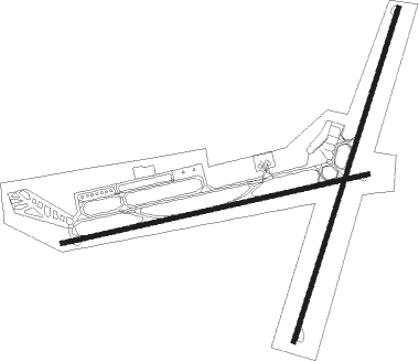
Airport details
| Country | Algeria |
| State | Tamanrasset |
| Region | DA |
| Airspace | Algiers Ctr |
| Municipality | Tamanghasset |
| Elevation | 4518ft (1377m) |
| Timezone | GMT +1 |
| Coordinates | 22.81111, 5.45083 |
| Magnetic var | |
| Type | land |
| Available since | X-Plane v10.40 |
| ICAO code | DAAT |
| IATA code | TMR |
| FAA code | n/a |
Communication
| TAMANRASSET Tower | 118.100 |
| TAMANRASSET Tower | 119.700 |
Approach frequencies
| ILS-cat-I | RW08 | 109.7 | 18.00mi |
| ILS-cat-I | RW20 | 108.5 | 18.00mi |
| 3.2° GS | RW20 | 108.5 | 18.00mi |
| 3° GS | RW08 | 109.7 | 18.00mi |

Nearby beacons
| code | identifier | dist | bearing | frequency |
|---|---|---|---|---|
| TMS | TAMENGHASSET VOR/DME | 0.3 | 231° | 112.50 |
| TM | AGUENAR-HADJ BEY AKHAMOK(TAMEN NDB | 1.6 | 24° | 270 |
Disclaimer
The information on this website is not for real aviation. Use this data with the X-Plane flight simulator only! Data taken with kind consent from X-Plane 12 source code and data files. Content is subject to change without notice.