Batna
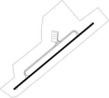
Airport details
| Country | Algeria |
| State | Batna |
| Region | DA |
| Airspace | Algiers Ctr |
| Municipality | Lazrou |
| Elevation | 2694ft (821m) |
| Timezone | GMT +1 |
| Coordinates | 35.75917, 6.32250 |
| Magnetic var | |
| Type | land |
| Available since | X-Plane v10.40 |
| ICAO code | DABT |
| IATA code | BLJ |
| FAA code | n/a |
Communication
| Batna BATNA TOUR | 118.100 |
| Batna BATNA TOUR | 119.700 |
Approach frequencies
| ILS-cat-I | RW23 | 110.7 | 18.00mi |
| 3° GS | RW23 | 110.7 | 18.00mi |
Nearby Points of Interest:
Aurès Mountains
Nearby beacons
| code | identifier | dist | bearing | frequency |
|---|---|---|---|---|
| BTN | BATNA VOR/DME | 1.2 | 60° | 115.70 |
| CNE | CONSTANTINE NDB | 32.5 | 43° | 397 |
| CSO | CONSTANTINE VOR/DME | 34.9 | 28° | 115.50 |
| BIS | BISKRA VOR/DME | 65 | 210° | 115 |
Disclaimer
The information on this website is not for real aviation. Use this data with the X-Plane flight simulator only! Data taken with kind consent from X-Plane 12 source code and data files. Content is subject to change without notice.