Ghardaïa - Noumerat
Airport details
| Country | Algeria |
| State | Ghardaia |
| Region | DA |
| Airspace | Algiers Ctr |
| Municipality | El Atteuf |
| Elevation | 1512ft (461m) |
| Timezone | GMT +1 |
| Coordinates | 32.38167, 3.79944 |
| Magnetic var | |
| Type | land |
| Available since | X-Plane v10.40 |
| ICAO code | DAUG |
| IATA code | GHA |
| FAA code | n/a |
Communication
| Noumerat GHARDAIA Tower | 118.900 |
| Noumerat GHARDAIA Tower | 119.700 |
Approach frequencies
| ILS-cat-I | RW30 | 109.5 | 18.00mi |
| 3° GS | RW30 | 109.5 | 18.00mi |
Runway info
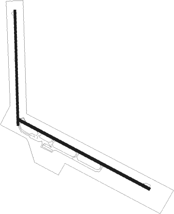
Runway 12 / 30  | ||
| length | 3097m (10161ft) | |
| bearing | 118° / 298° | |
| width | 60m (197ft) | |
| surface | asphalt | |
| blast zone | 0m (0ft) / 100m (328ft) | |
| Runway 18 / 36 | ||
| length | 2409m (7904ft) | |
| bearing | 183° / 3° | |
| width | 45m (148ft) | |
| surface | asphalt | |
| blast zone | 100m (328ft) / 0m (0ft) | |
Nearby beacons
| code | identifier | dist | bearing | frequency |
|---|---|---|---|---|
| GHA | NOUMERAT NDB | 0.4 | 217° | 340 |
| GHA | NOUMERAT VOR/DME | 1.2 | 298° | 114.90 |
| HRM | HASSI R'MEL VOR/DME | 40.1 | 321° | 115.40 |
| HRM | HASSI R'MEL NDB | 42.3 | 316° | 331 |
Disclaimer
The information on this website is not for real aviation. Use this data with the X-Plane flight simulator only! Data taken with kind consent from X-Plane 12 source code and data files. Content is subject to change without notice.