Tamale
Airport details
| Country | Ghana |
| State | Northern Region |
| Region | DG |
| Airspace | Accra Ctr |
| Municipality | Sagnarigu Municipal District |
| Elevation | 553ft (169m) |
| Timezone | GMT +0 |
| Coordinates | 9.55727, -0.86317 |
| Magnetic var | |
| Type | land |
| Available since | X-Plane v10.40 |
| ICAO code | DGLE |
| IATA code | TML |
| FAA code | n/a |
Communication
| Tamale ATC Frequency | 118.100 |
Nearby beacons
| code | identifier | dist | bearing | frequency |
|---|---|---|---|---|
| TLE | TAMALE VOR/DME | 1.3 | 45° | 116.90 |
Departure and arrival routes
| Transition altitude | 4000ft |
| SID end points | distance | outbound heading | |
|---|---|---|---|
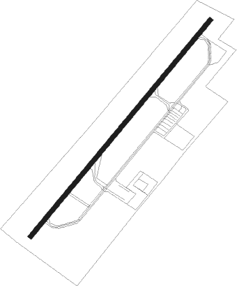
| RW23 | |||
| VOPE1D | 30mi | 181° | |
Instrument approach procedures
| runway | airway (heading) | route (dist, bearing) |
|---|---|---|
| RW05 | GALVA (70°) | GALVA 3600ft GUGUT (5mi, 134°) 2200ft |
| RW05 | IKPOR (19°) | IKPOR 3600ft GUGUT (5mi, 314°) 2200ft |
| RNAV | GUGUT 2200ft LE800 (4mi, 45°) 2200ft LE799 (4mi, 44°) 879ft (575mi, 175°) 1400ft GALVA (573mi, 354°) 3600ft GALVA (turn) 3600ft | |
| RW23 | AKMAK (199°) | AKMAK 3600ft DEKIN (5mi, 134°) 2000ft |
| RW23 | BOMSI (250°) | BOMSI 3600ft DEKIN (5mi, 314°) 2000ft |
| RNAV | DEKIN 2000ft LE500 (6mi, 225°) 2000ft 21THR (2mi, 225°) 1250ft LE499 (1mi, 225°) 890ft (577mi, 175°) 1400ft AKMAK (587mi, 355°) 3600ft AKMAK (turn) 3600ft |
Disclaimer
The information on this website is not for real aviation. Use this data with the X-Plane flight simulator only! Data taken with kind consent from X-Plane 12 source code and data files. Content is subject to change without notice.