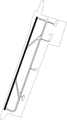
Bouake
Airport details
| Country | Ivory Coast |
| State | Vallée du Bandama |
| Region | DI |
| Airspace | Dakar Ctr |
| Municipality | Bouaké |
| Elevation | 1229ft (375m) |
| Timezone | GMT +0 |
| Coordinates | 7.74628, -5.06397 |
| Magnetic var | |
| Type | land |
| Available since | X-Plane v10.40 |
| ICAO code | DIBK |
| IATA code | BYK |
| FAA code | n/a |
Communication
| Bouake Ground Control | 121.700 |
| Bouake Tower | 118.900 |
| Bouake Approach | 120.000 |
Nearby beacons
| code | identifier | dist | bearing | frequency |
|---|---|---|---|---|
| BKY | BOUAKE VOR/DME | 0.6 | 275° | 115.10 |
| YAM | YAMOUSSOUKRO VOR/DME | 54.8 | 200° | 115.80 |
Instrument approach procedures
| runway | airway (heading) | route (dist, bearing) |
|---|---|---|
| RW03 | ARDAS (46°) | ARDAS 3100ft KENUT (5mi, 114°) 3100ft |
| RW03 | GURAN (5°) | GURAN 3100ft KENUT (5mi, 294°) 3100ft |
| RNAV | KENUT 3100ft BK501 (6mi, 24°) 3100ft DIBK (7mi, 27°) 1275ft BK502 (4mi, 18°) ARDAS (17mi, 221°) 3100ft | |
| RW21 | BOSKA (180°) | BOSKA 3100ft DETLA (5mi, 114°) 3100ft |
| RW21 | MOKIM (226°) | MOKIM 3100ft DETLA (5mi, 294°) 3100ft |
| RNAV | DETLA 3100ft BK503 (6mi, 204°) 3100ft DIBK (6mi, 201°) 1248ft BK504 (5mi, 208°) BOSKA (17mi, 7°) 3100ft |
Disclaimer
The information on this website is not for real aviation. Use this data with the X-Plane flight simulator only! Data taken with kind consent from X-Plane 12 source code and data files. Content is subject to change without notice.